Africa Physycal Maps
Our collection of digital maps in Adobe Illustrator EPS format includes a wide range of maps for various countries and regions around the world. One of our most popular collections is the Africa Physical Maps, which features detailed maps of the continent’s physical features, including mountains, rivers, lakes, and deserts.
These maps are designed to be highly accurate and detailed, making them ideal for a variety of uses, from educational materials to business presentations. They are also fully editable, allowing you to customize them to suit your specific needs.
In addition to the physical features of Africa, our maps also include important cities and towns, as well as major transportation routes and other key landmarks. This information can be invaluable for anyone looking to explore or do business in the region.
Whether you’re a student, a researcher, or a business professional, our collection of Africa Physical Maps in Adobe Illustrator EPS format is an essential resource for anyone looking to gain a deeper understanding of this fascinating continent. So why wait? Start exploring today!
Showing 1–16 of 53 resultsSorted by latest
-

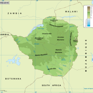
Zimbabwe physical eps map vector
50.00 € Select options -

Zambia physical eps map vector
50.00 € Select options -

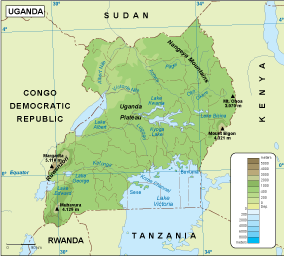
Uganda physical eps map vector
50.00 € Select options -

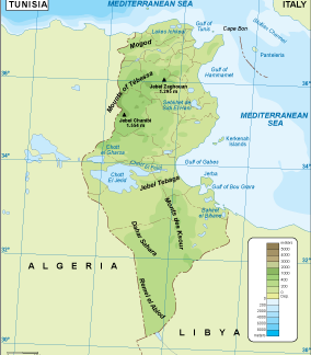
Tunisia physical eps map vector
50.00 € Select options -

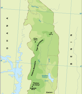
Togo physical eps map vector
50.00 € Select options -

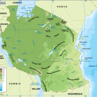
Tanzania physical eps map vector
50.00 € Select options -

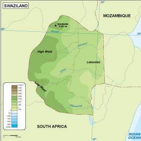
Swaziland physical eps map vector
50.00 € Select options -

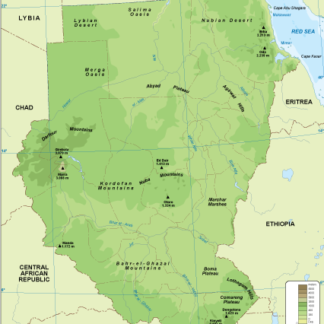
Sudan physical eps map vector
50.00 € Select options -

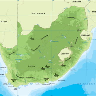
South Africa physical eps map vector
50.00 € Select options -

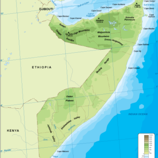
Somalia physical eps map vector
50.00 € Select options -

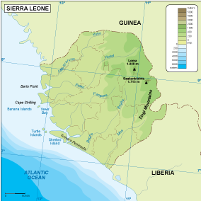
Sierra Leone physical eps map vector
50.00 € Select options -

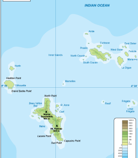
Seychelles physical eps map vector
50.00 € Select options -

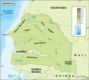
Senegal physical eps map vector
50.00 € Select options -

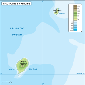
Sao Tome e Principe physical eps map vector
50.00 € Select options -

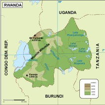
Rwanda physical eps map vector
50.00 € Select options -

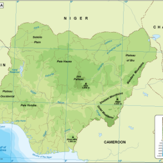
Nigeria physical eps map vector
50.00 € Select options
Showing 1–16 of 53 resultsSorted by latest
