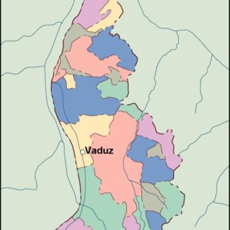
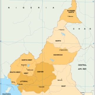
Botswana Vector EPS maps
Our collection of Botswana Vector EPS maps is a comprehensive set of digital maps created using Adobe Illustrator. These maps are designed to provide accurate and detailed information about the geography, topography, and infrastructure of Botswana.
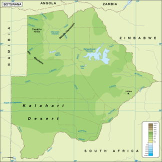
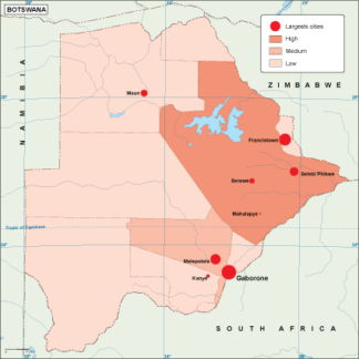
Each map in our collection includes important features such as major cities, towns, highways, rivers, lakes, and national parks. The maps are also designed to show the location of important landmarks and tourist attractions, making them an essential tool for anyone planning a trip to Botswana.
Our Botswana Vector EPS maps are created using the latest GIS technology, ensuring that they are accurate and up-to-date. They are also fully editable, allowing users to customize them to suit their specific needs.
Whether you are a traveler, a researcher, or a business owner, our collection of Botswana Vector EPS maps is an invaluable resource for anyone looking to explore this beautiful country. So why wait? Start exploring Botswana today with our comprehensive collection of digital maps!
Showing all 11 resultsSorted by latest
-

Botswana physical eps map vector
50.00 € Select options -
Botswana transportation eps map vector
55.00 € Select options -
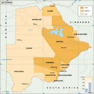
Botswana population eps map vector
60.00 € Select options -
Botswana vegetation eps map vector
70.00 € Select options -
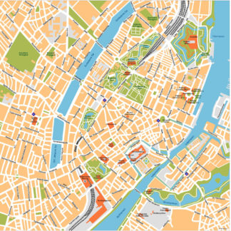
Botswana EPS map vector
80.00 € Select options -
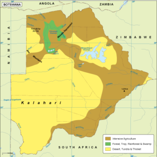
Botswana economic eps map vector
75.00 € Select options -
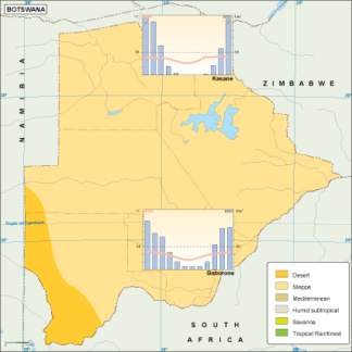
Botswana climate eps map vector
65.00 € Select options -
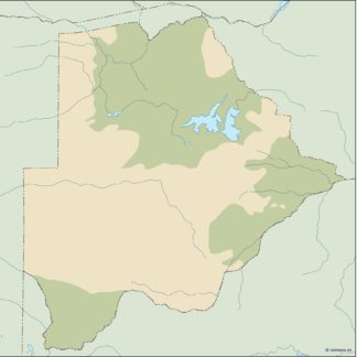
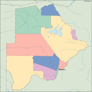
botswana illustrator eps map vector
29.00 € Select options -
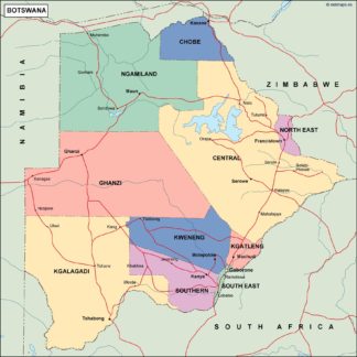
botswana political eps map vector
99.00 € Select options -
botswana blind eps map vector
35.00 € Select options -
botswana eps map vector
39.00 € Select options


Showing all 11 resultsSorted by latest