Cape Verde Vector EPS maps
Our collection of digital maps in Adobe Illustrator EPS format includes maps of various countries, including Cape Verde. These maps are highly detailed and accurate, making them ideal for a wide range of applications, from educational materials to business presentations.
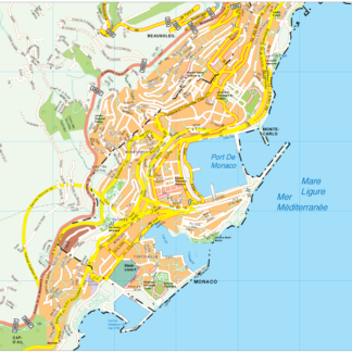
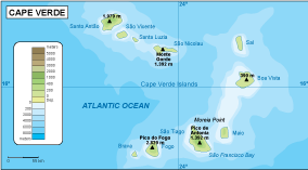
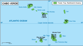
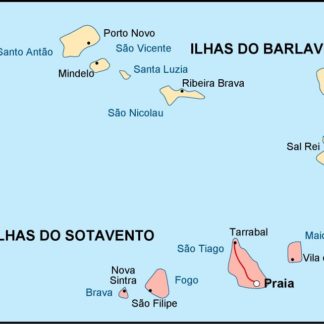
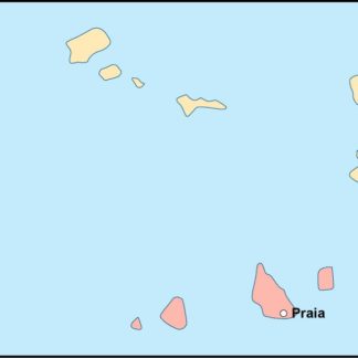
The Cape Verde Vector EPS maps in our collection provide a comprehensive overview of the country’s geography, including its location in the Atlantic Ocean and its proximity to the African continent. The maps also highlight important cities and landmarks, such as Praia, Mindelo, and the Ilha do Sal.
In addition to their visual appeal, our digital maps are also highly functional. They can be easily edited and customized to suit your specific needs, whether you need to add additional information or adjust the colors and fonts to match your branding.
Overall, our collection of digital maps in Adobe Illustrator EPS format is an invaluable resource for anyone looking to explore and understand the world around them. Whether you’re a student, a business professional, or simply a curious traveler, these maps are sure to provide you with the information and insights you need to succeed.
Showing all 11 resultsSorted by latest
-

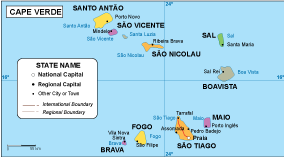
Cape Verde physical eps map vector
50.00 € Select options -
Cape Verde transportation eps map vector
55.00 € Select options -
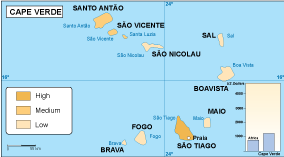
Cape Verde population eps map vector
60.00 € Select options -
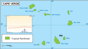
Cape Verde vegetation eps map vector
70.00 € Select options -
Cape Verde EPS map vector
80.00 € Select options -
Cape Verde economic eps map vector
75.00 € Select options -
Cape Verde climate eps map vector
65.00 € Select options -

cape verde illustrator eps map vector
29.00 € Select options -
cape verde political eps map vector
99.00 € Select options -
cape verde blind eps map vector
35.00 € Select options -
cape verde eps map vector
39.00 € Select options

Showing all 11 resultsSorted by latest