Central Africa Republic Vector EPS maps
Our collection of digital maps in Adobe Illustrator EPS format includes maps of various countries, including the Central African Republic. These maps are designed to be highly detailed and accurate, providing users with a comprehensive view of the country’s geography, topography, and political boundaries.
The Central African Republic map includes all major cities, towns, and villages, as well as important landmarks and natural features such as rivers, lakes, and mountains. The map also shows the country’s borders with neighboring countries, making it easy to understand the Central African Republic’s location and geopolitical situation.
Our digital maps are created using the latest GIS technology, ensuring that they are up-to-date and accurate. They are also fully editable, allowing users to customize them to suit their specific needs. Whether you are a student, researcher, or business professional, our collection of digital maps is an invaluable resource for anyone looking to explore the Central African Republic or any other country in the world.
Showing all 8 resultsSorted by latest
-

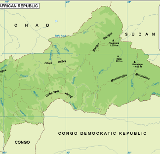
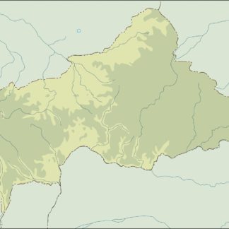
Central African Rep physical eps map vector
50.00 € Select options -

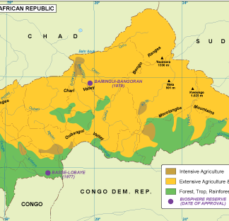
Central Africa Rep vegetation eps map vector
70.00 € Select options -

Central Afr Rep EPS map vector
80.00 € Select options -

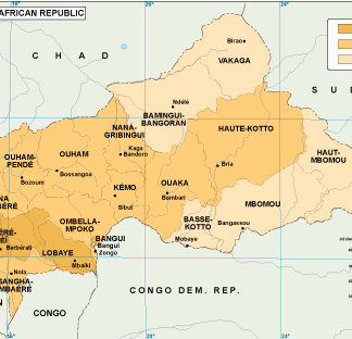
Central Africa Rep economic eps map vector
75.00 € Select options -

central africa illustrator eps map vector
29.00 € Select options -

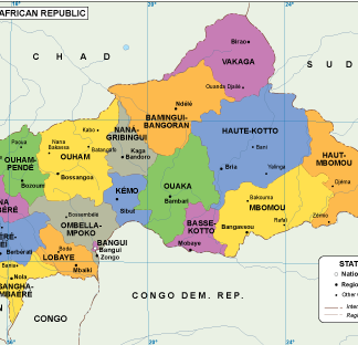
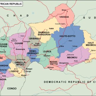
central africa political eps map vector
99.00 € Select options -

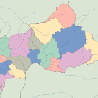
central africa blind eps map vector
35.00 € Select options -

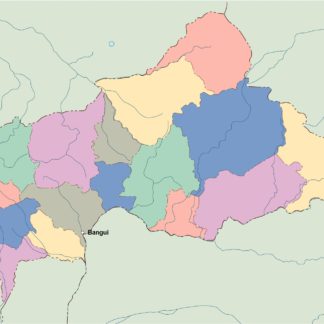
central africa eps map vector
39.00 € Select options
Showing all 8 resultsSorted by latest
