Congo Democratic Republic Vector EPS maps
Our collection of digital maps in Adobe Illustrator EPS format includes maps of the Democratic Republic of Congo. These maps are highly detailed and accurate, providing users with a comprehensive view of the country’s geography, including its major cities, rivers, and other important landmarks.
The Democratic Republic of Congo is located in central Africa and is the second-largest country on the continent. It is home to a diverse range of cultures and languages, and its history is marked by periods of conflict and instability.
Our vector EPS maps of the Democratic Republic of Congo are designed to be easy to use and highly customizable. They can be scaled to any size without losing resolution, making them ideal for a wide range of applications, from print materials to digital presentations.
Whether you are a researcher, a student, or a business professional, our collection of digital maps in Adobe Illustrator EPS format is an essential tool for understanding the geography and culture of the Democratic Republic of Congo. So why wait? Start exploring today!
Showing 1–16 of 21 resultsSorted by latest
-

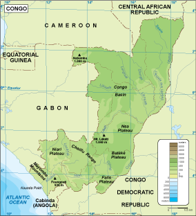
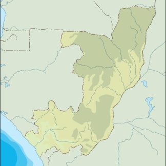
Congo physical eps map vector
50.00 € Select options -

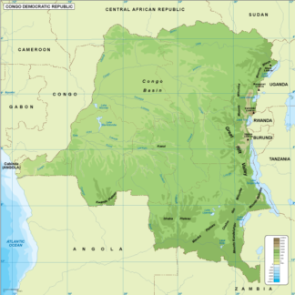
Congo Dem Rep physical eps map vector
50.00 € Select options -

Congo transportation eps map vector
55.00 € Select options -

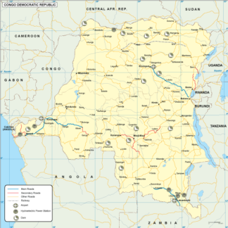
Congo Dem Rep transportation eps map vector
55.00 € Select options -

Congo population eps map vector
60.00 € Select options -

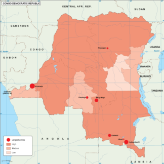
Congo Dem Rep population eps map vector
60.00 € Select options -

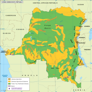
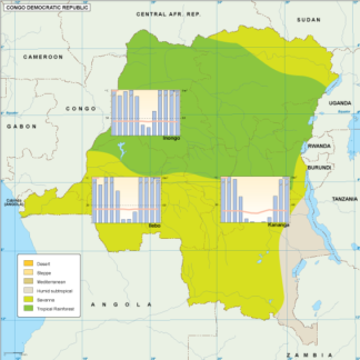
Congo Dem Rep vegetation eps map vector
70.00 € Select options -

Congo EPS map vector
80.00 € Select options -

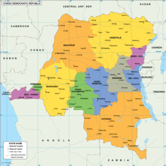
Congo Dem Rep EPS map vector
80.00 € Select options -

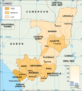
Congo economic eps map vector
75.00 € Select options -

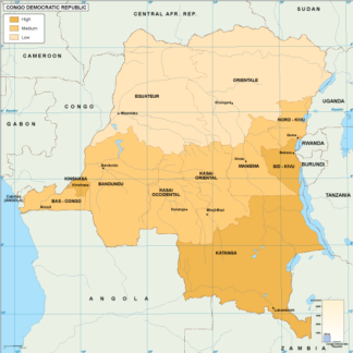
Congo Dem Rep economic eps map vector
75.00 € Select options -

Congo Dem Rep climate eps map vector
65.00 € Select options -

Congo climate eps map vector
65.00 € Select options -

congo illustrator eps map vector
29.00 € Select options -

congo dem illustrator eps map vector
29.00 € Select options -

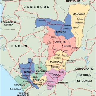
congo political eps map vector
99.00 € Select options
Showing 1–16 of 21 resultsSorted by latest
