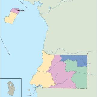
Equatorial Guinea Vector EPS maps
Our collection of Equatorial Guinea Vector EPS maps is a comprehensive set of digital maps created using Adobe Illustrator. These maps are designed to provide accurate and detailed information about the geography, topography, and political boundaries of Equatorial Guinea.
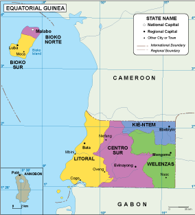
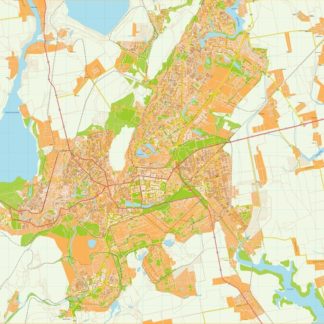
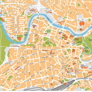
Equatorial Guinea is a small country located in Central Africa, bordered by Cameroon to the north, Gabon to the south and east, and the Gulf of Guinea to the west. The country is divided into two main regions: the mainland and the island of Bioko. Our collection includes detailed maps of both regions, as well as individual maps of major cities such as Malabo, Bata, and Ebebiyin.
Each map in our collection is created using vector graphics, which means that they can be scaled to any size without losing quality. This makes them ideal for use in a wide range of applications, from print publications to digital media.
Whether you are a student, researcher, or business professional, our Equatorial Guinea Vector EPS maps are an essential tool for understanding the geography and political landscape of this fascinating country. With accurate and up-to-date information, you can explore Equatorial Guinea with confidence and ease.
Showing all 11 resultsSorted by latest
-

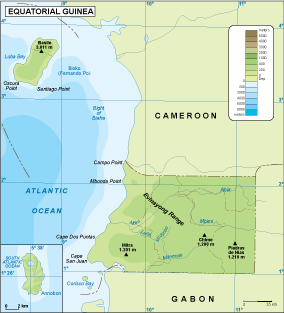
Equatorial Guinea physical eps map vector
50.00 € Select options -

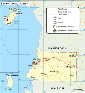
Equatorial Guinea transportation eps map vector
55.00 € Select options -

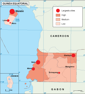
Equatorial Guinea population eps map vector
60.00 € Select options -

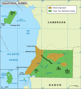
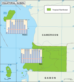
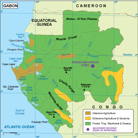
Equatorial Guinea vegetation eps map vector
70.00 € Select options -

Equatorial Guinea EPS map vector
80.00 € Select options -

Equatorial Guinea economic eps map vector
75.00 € Select options -

Equatorial Guinea climate eps map vector
65.00 € Select options -

equatorial guinea illustrator eps map vector
29.00 € Select options -

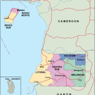
equatorial guinea political eps map vector
99.00 € Select options -

equatorial guinea blind eps map vector
35.00 € Select options -

equatorial guinea eps map vector
39.00 € Select options
Showing all 11 resultsSorted by latest
