Mozambique Vector EPS maps
Our collection of digital maps in Adobe Illustrator EPS format includes maps of Mozambique. These maps are highly detailed and accurate, providing users with a comprehensive view of the country’s geography, topography, and infrastructure.
Mozambique is located in southeastern Africa and is bordered by Tanzania to the north, Malawi and Zambia to the northwest, Zimbabwe to the west, South Africa and Eswatini to the south, and the Indian Ocean to the east. The country’s capital and largest city is Maputo, which is located in the southern part of the country.
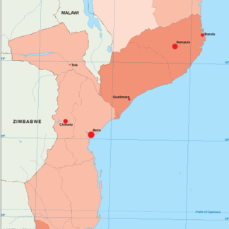
Our Mozambique Vector EPS maps include detailed information about the country’s major cities, including Maputo, Beira, Nampula, and Quelimane. These maps also highlight important landmarks and attractions, such as national parks, beaches, and historical sites.
Whether you are a traveler planning a trip to Mozambique, a business owner looking to expand your operations in the country, or a student studying the geography of Africa, our collection of digital maps in Adobe Illustrator EPS format is an invaluable resource. With high-quality graphics and detailed information, these maps are the perfect tool for exploring and understanding Mozambique.
Showing all 11 resultsSorted by latest
-

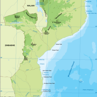
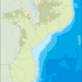
Mozambique physical eps map vector
50.00 € Select options -
Mozambique transportation eps map vector
55.00 € Select options -
Mozambique population eps map vector
60.00 € Select options -
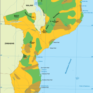
Mozambique vegetation eps map vector
70.00 € Select options -
Mozambique EPS map vector
80.00 € Select options -
Mozambique economic eps map vector
75.00 € Select options -
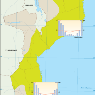
Mozambique climate eps map vector
65.00 € Select options -
mozambique illustrator eps map vector
29.00 € Select options -
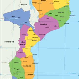
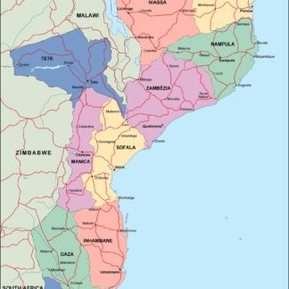
mozambique political eps map vector
99.00 € Select options -
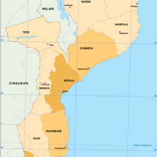
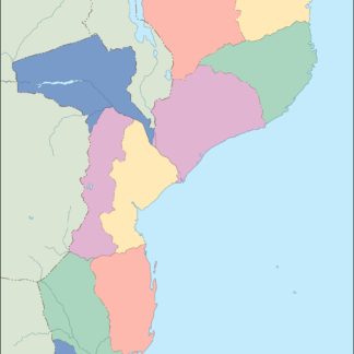
mozambique blind eps map vector
35.00 € Select options -
mozambique eps map vector
39.00 € Select options

Showing all 11 resultsSorted by latest