Nigeria Vector EPS maps
Our collection of digital maps in Adobe Illustrator EPS format includes maps of Nigeria. These maps are highly detailed and accurate, providing users with a comprehensive view of the country’s geography, topography, and infrastructure.
Nigeria is located in West Africa and is the most populous country on the continent. It is home to over 200 million people and is known for its diverse culture, rich history, and natural resources.
Our Nigeria Vector EPS maps include detailed information on the country’s major cities, including Lagos, Abuja, and Kano. These maps also highlight important landmarks and attractions, such as national parks, museums, and historical sites.
In addition to providing a detailed view of Nigeria’s geography and infrastructure, our digital maps are also highly customizable. Users can easily edit and manipulate the maps to suit their specific needs, whether they are creating a presentation, designing a website, or conducting research.
Overall, our collection of digital maps in Adobe Illustrator EPS format is an invaluable resource for anyone looking to explore and understand Nigeria’s geography, culture, and history.
Showing all 13 resultsSorted by latest
-

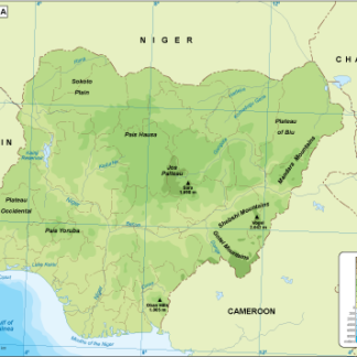
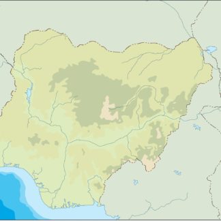
Nigeria physical eps map vector
50.00 € Select options -
Nigeria transportation eps map vector
55.00 € Select options -
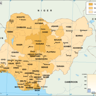
Nigeria population eps map vector
60.00 € Select options -
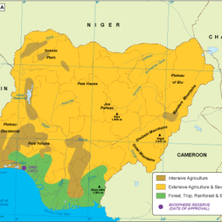
Nigeria vegetation eps map vector
70.00 € Select options -
Nigeria EPS map vector
80.00 € Select options -
Nigeria economic eps map vector
75.00 € Select options -
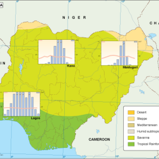
Nigeria climate eps map vector
65.00 € Select options -
nigeria illustrator eps map vector
29.00 € Select options -
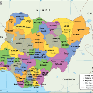
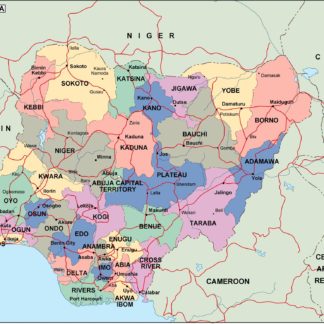
nigeria political eps map vector
99.00 € Select options -
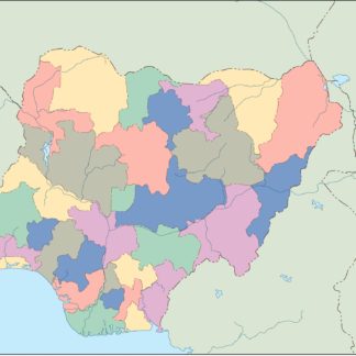
nigeria blind eps map vector
35.00 € Select options -
nigeria eps map vector
39.00 € Select options -
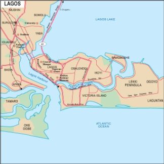
Lagos city eps map vector
65.00 € Select options -
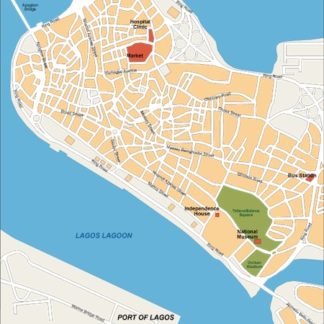
Lagos eps illustrator vector map
140.00 € Select options


Showing all 13 resultsSorted by latest