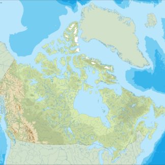
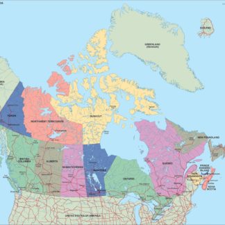
Canada eps country maps
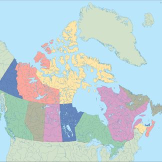
Our collection of digital maps in Adobe Illustrator EPS format includes maps of various countries, including Canada. These maps are designed to be highly detailed and accurate, providing users with a comprehensive view of the country’s geography, cities, and important landmarks.
The Canada EPS country maps in our collection feature all of the major cities and towns, as well as important natural features such as lakes, rivers, and mountains. Users can easily zoom in and out of the map to get a closer look at specific areas, and the maps are fully editable, allowing users to customize them to suit their needs.
Whether you’re a student studying geography, a business owner looking to expand your operations in Canada, or a traveler planning a trip to the country, our collection of Canada EPS country maps is an invaluable resource. With accurate and up-to-date information, these maps provide a comprehensive view of the country’s geography and important landmarks, making them an essential tool for anyone looking to explore or do business in Canada.
Showing all 4 resultsSorted by latest
-

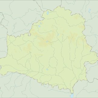
canada illustrator eps map vector
29.00 € Select options -
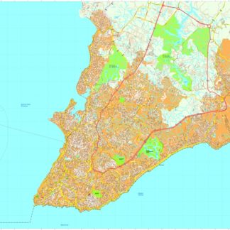
canada political eps map vector
99.00 € Select options -
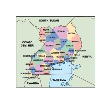
canada blind eps map vector
35.00 € Select options -
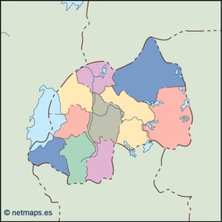
canada eps map vector
39.00 € Select options

Showing all 4 resultsSorted by latest