Guyana Vector EPS maps
EPSmaps.com offers a wide range of digital map collections for businesses, including Adobe Illustrator EPS maps. Our collection includes maps for various countries, including Guyana.
Our Guyana Vector EPS maps are highly detailed and accurate, providing businesses with a comprehensive view of the country’s geography. These maps include important information such as the location of major cities, towns, and landmarks, as well as key transportation routes and bodies of water.
Guyana is a country located on the northern coast of South America, bordered by Venezuela, Brazil, and Suriname. Its capital city is Georgetown, which is also the largest city in the country. Other important cities in Guyana include Linden, New Amsterdam, and Bartica.
Our Guyana Vector EPS maps are perfect for businesses operating in the country, such as logistics companies, tourism agencies, and real estate firms. With our maps, businesses can easily plan routes, identify key locations, and gain a better understanding of the country’s geography.
Overall, our collection of digital maps is an essential tool for businesses looking to expand their operations in Guyana and other countries around the world. With our accurate and detailed maps, businesses can make informed decisions and stay ahead of the competition.
Showing all 4 resultsSorted by latest
-

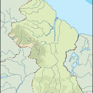
guyana illustrator eps map vector
29.00 € Select options -

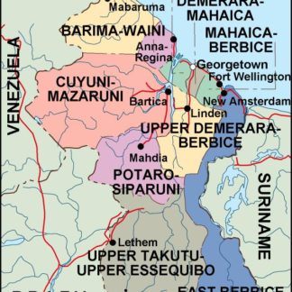
guyana political eps map vector
99.00 € Select options -

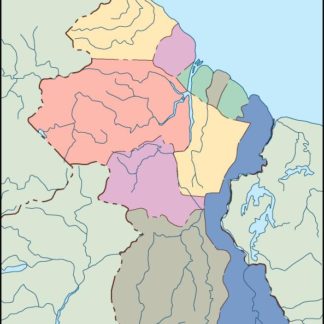
guyana blind eps map vector
35.00 € Select options -

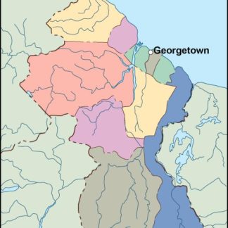
guyana eps map vector
39.00 € Select options
Showing all 4 resultsSorted by latest
