St Vincent and Grenadines Vector EPS maps
EPSmaps.com offers a wide range of digital map collections for businesses in Adobe Illustrator EPS format. One of our popular collections is the St Vincent and Grenadines Vector EPS maps.
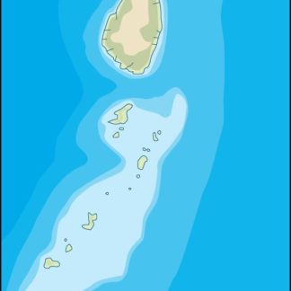
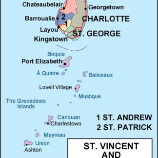
These maps are highly detailed and accurate, providing businesses with a comprehensive view of the geography and topography of St Vincent and Grenadines. The maps include important cities, towns, and landmarks, making it easy for businesses to locate their customers, suppliers, and partners.
St Vincent and Grenadines is a small island nation located in the Caribbean Sea. It is known for its beautiful beaches, lush rainforests, and vibrant culture. The country is made up of 32 islands, with St Vincent being the largest and most populous.
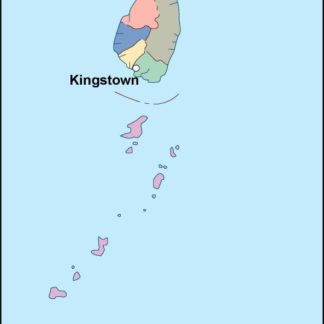
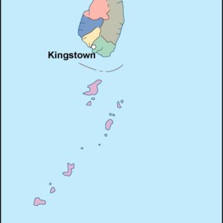
The capital city of St Vincent and Grenadines is Kingstown, which is located on the southern coast of St Vincent. Other important cities and towns include Georgetown, Barrouallie, and Chateaubelair.
The St Vincent and Grenadines Vector EPS maps also highlight important landmarks such as the La Soufriere volcano, the Botanic Gardens, and the Fort Charlotte. These landmarks are not only important for tourism but also for businesses that operate in the country.
Overall, the St Vincent and Grenadines Vector EPS maps are an essential tool for businesses that operate in the country. They provide a detailed and accurate view of the geography and topography of the country, making it easier for businesses to navigate and locate important landmarks and cities.
Showing all 4 resultsSorted by latest
-

st vincent and the grenadines illustrator eps map vector
29.00 € Select options -

st vincent and the grenadines political eps map vector
99.00 € Select options -

st vincent and the grenadines blind eps map vector
35.00 € Select options -

st vincent and the grenadines eps map vector
39.00 € Select options
Showing all 4 resultsSorted by latest


