USA eps city maps
Digital map collections in Adobe Illustrator EPS format are a valuable resource for web designers and cartographers. These collections typically include a variety of maps for different regions and countries, each with its own unique features and details.
For example, the USA EPS city maps collection would include detailed maps of major cities and metropolitan areas throughout the United States. These maps would typically include important landmarks, streets, and neighborhoods, as well as information about transportation and other key features.
In addition to city maps, the collection might also include state and regional maps, highlighting important geographic features and landmarks such as mountains, rivers, and national parks. These maps would be useful for a variety of purposes, from tourism and travel planning to educational and research projects.
Overall, digital map collections in Adobe Illustrator EPS format are an essential tool for anyone working with geographic data or designing maps for print or web. With their high level of detail and flexibility, these maps can be customized and adapted to meet a wide range of needs and applications.
Showing 1–16 of 94 resultsSorted by latest
-

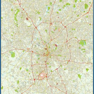
atlanta eps map vector
795.00 € Select options -
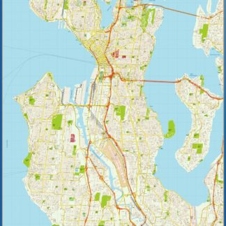
seattle eps map vector
795.00 € Select options -
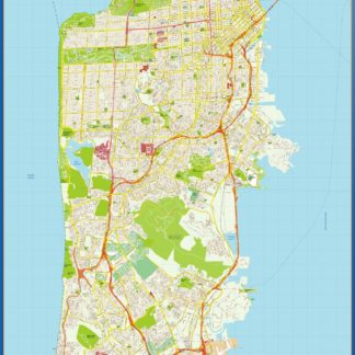
san francisco eps map vector
795.00 € Select options -
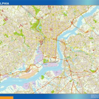
Philadelphia eps map vector
795.00 € Select options -
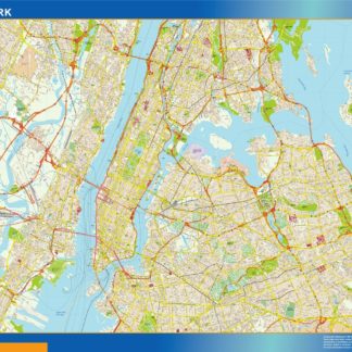
new york eps map vector
795.00 € Select options -
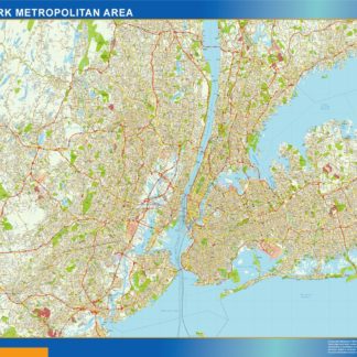
new york metropolitan eps map vector
1,495.00 € Select options -
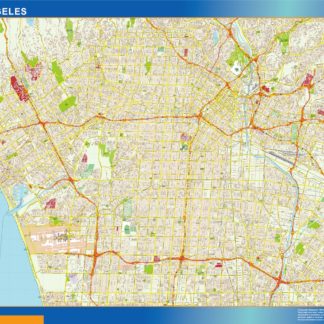
los angeles eps map vector
795.00 € Select options -
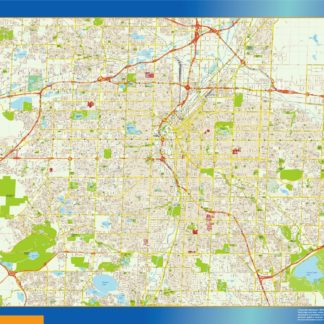
denver eps map vector
795.00 € Select options -
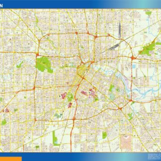
houston eps map vector
795.00 € Select options -
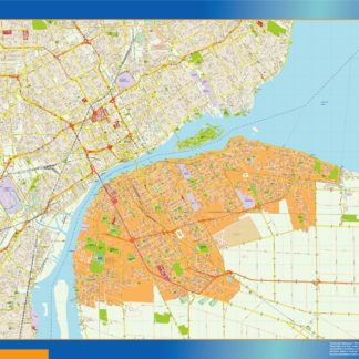
detroit eps map vector
795.00 € Select options -
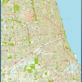
chicago eps map vector
795.00 € Select options -
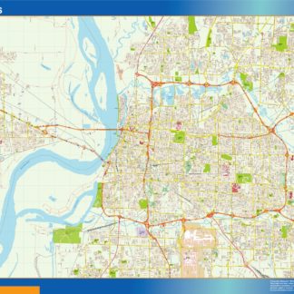
memphis eps map vector
795.00 € Select options -

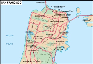
San Francisco city eps map vector
65.00 € Select options -

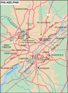
Philadelphia city eps map vector
65.00 € Select options -

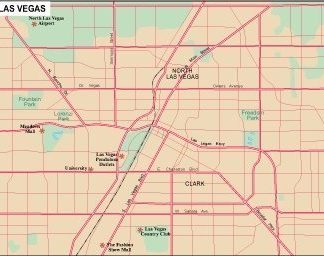
Las Vegas city eps map vector
65.00 € Select options -

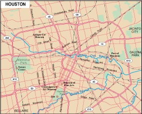
Houston city eps map vector
65.00 € Select options
Showing 1–16 of 94 resultsSorted by latest