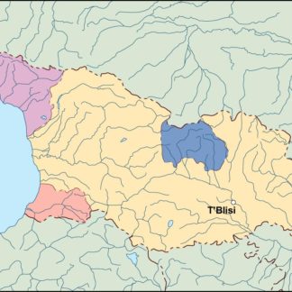
Georgia Vector EPS maps
EPSmaps.com offers a wide range of digital map collections for businesses in Adobe Illustrator EPS format. These maps are designed to provide accurate and detailed information about various countries and regions around the world. One such collection is the Georgia Vector EPS maps.
The Georgia Vector EPS maps collection includes detailed maps of the state of Georgia in the United States. These maps are designed to provide businesses with accurate and up-to-date information about the state’s geography, cities, and important landmarks. The maps are available in high-resolution EPS format, which makes them ideal for use in a variety of applications, including print and digital media.
The Georgia Vector EPS maps collection includes maps of major cities such as Atlanta, Augusta, and Savannah, as well as smaller towns and rural areas. The maps also include information about major highways, rivers, and other important features of the state’s geography. This information can be used by businesses to plan marketing campaigns, target specific regions, and make informed decisions about where to locate their operations.
Overall, the Georgia Vector EPS maps collection is an essential resource for businesses operating in or targeting the state of Georgia. With accurate and detailed information about the state’s geography, cities, and important landmarks, these maps can help businesses make informed decisions and achieve their goals.
Showing all 5 resultsSorted by latest
-

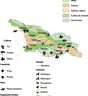
Georgia Economic eps map vector
75.00 € Select options -

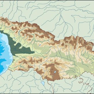
georgia illustrator eps map vector
29.00 € Select options -

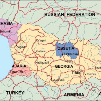
georgia political eps map vector
99.00 € Select options -

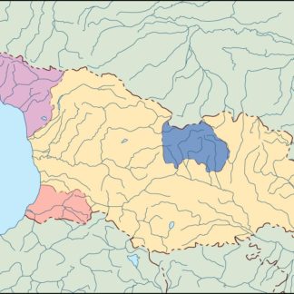
georgia blind eps map vector
35.00 € Select options -

georgia eps map vector
39.00 € Select options
Showing all 5 resultsSorted by latest
