Israel Vector EPS maps
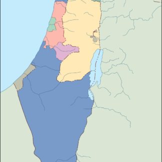
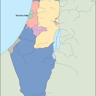
EPSmaps.com offers a wide range of digital map collections for businesses in Adobe Illustrator EPS format. One of our popular collections is the Israel Vector EPS maps, which provides detailed and accurate maps of the country.
These maps are perfect for businesses that require location-based information for their operations in Israel. The maps include important cities such as Jerusalem, Tel Aviv, Haifa, and Beersheba, as well as other significant locations like the Dead Sea and the Sea of Galilee.
Our Israel Vector EPS maps also provide information on the country’s borders, major highways, and transportation networks. This makes it easy for businesses to plan their logistics and navigate through the country efficiently.
In addition, our maps also highlight important landmarks and tourist attractions, such as the Western Wall, Masada, and the Bahá’í Gardens in Haifa. This is useful for businesses in the tourism industry or those that cater to tourists.
Overall, our Israel Vector EPS maps are an essential tool for businesses operating in Israel. They provide accurate and detailed information on the country’s geography, transportation networks, and important landmarks, making it easier for businesses to plan and execute their operations effectively.
Showing all 7 resultsSorted by latest
-

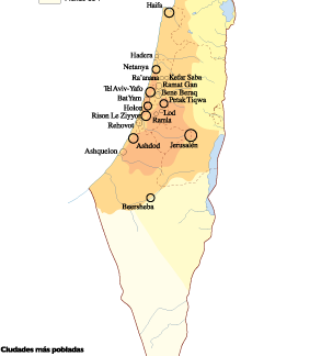
Israel Population eps map vector
60.00 € Select options -

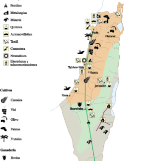
Israel Economic eps map vector
75.00 € Select options -

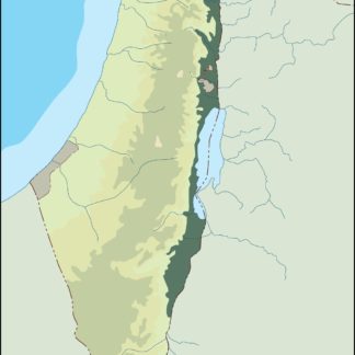
israel illustrator eps map vector
29.00 € Select options -

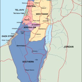
israel political eps map vector
99.00 € Select options -

israel blind eps map vector
35.00 € Select options -

israel eps map vector
39.00 € Select options -

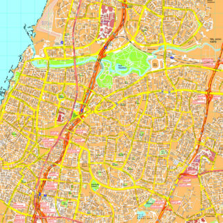
Tel Aviv eps map vector
495.00 € Select options
Showing all 7 resultsSorted by latest
