Lebanon Vector EPS maps
EPSmaps.com offers a wide range of digital map collections for businesses in Adobe Illustrator EPS format. One of our popular collections is the Lebanon Vector EPS maps.
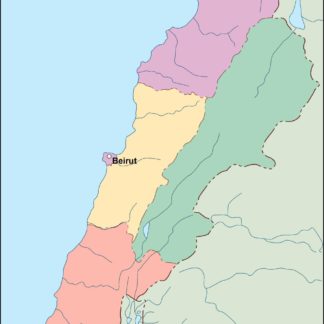
These maps are designed to provide accurate and detailed information about the geography and topography of Lebanon. They include important features such as cities, towns, roads, highways, rivers, lakes, and other landmarks.
With these maps, businesses can easily locate their customers, suppliers, and partners in Lebanon. They can also plan their marketing and sales strategies based on the demographics and economic conditions of different regions in the country.
The Lebanon Vector EPS maps are ideal for businesses in various industries such as tourism, transportation, logistics, real estate, and more. They are also useful for government agencies, NGOs, and academic institutions that need to conduct research or analysis on Lebanon.
At EPSmaps.com, we ensure that our maps are up-to-date and accurate. We use the latest technology and data sources to create high-quality maps that meet the needs of our clients. Our maps are also customizable, allowing businesses to add their own data and branding elements.
Overall, the Lebanon Vector EPS maps are an essential tool for any business that wants to expand its operations in Lebanon. They provide valuable insights and information that can help businesses make informed decisions and achieve their goals.
Showing all 5 resultsSorted by latest
-

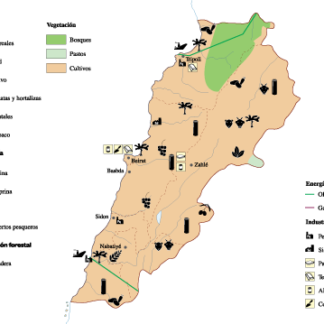
Lebanon Economic eps map vector
75.00 € Select options -

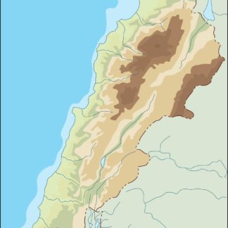
lebanon illustrator eps map vector
29.00 € Select options -

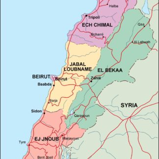
lebanon political eps map vector
99.00 € Select options -

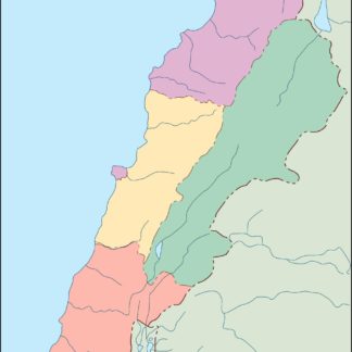
lebanon blind eps map vector
35.00 € Select options -

lebanon eps map vector
39.00 € Select options
Showing all 5 resultsSorted by latest
