Andorra Vector EPS maps
Our collection of digital maps in Adobe Illustrator EPS format includes maps of various countries, including Andorra. These maps are highly detailed and accurate, making them ideal for a wide range of applications, from educational materials to business presentations.
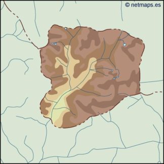
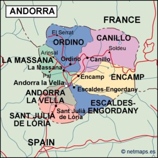
The Andorra Vector EPS maps in our collection provide a comprehensive overview of this small European country, including its location, major cities, and important landmarks. With these maps, you can easily identify the country’s borders, as well as its neighboring countries, such as France and Spain.
In addition to its geographical features, our Andorra Vector EPS maps also highlight the country’s major cities, including Andorra la Vella, the capital city, and Escaldes-Engordany, a popular tourist destination. These maps also provide information on important landmarks, such as the Casa de la Vall, a historic building that serves as the seat of the Andorran parliament.
Overall, our collection of digital maps in Adobe Illustrator EPS format provides a valuable resource for anyone looking to explore Andorra or other countries around the world. With their high level of detail and accuracy, these maps are an essential tool for anyone seeking to understand the geography and culture of different regions.
Showing all 10 resultsSorted by latest
-

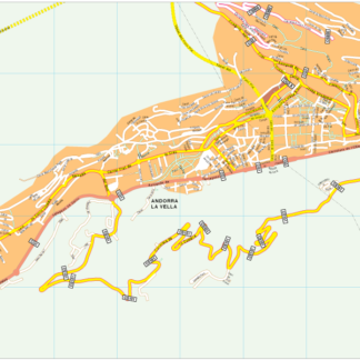
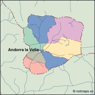
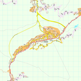
Andorra la Vella Vector EPS map vector
280.00 € Select options -

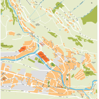
Escaldes Illustrator eps map vector
160.00 € Select options -

Andorra Illustrator Map
160.00 € Select options -

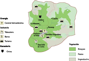
Andorra Economic eps map vector
75.00 € Select options -

andorra illustrator map
29.00 € Select options -

andorra political eps map vector
99.00 € Select options -

andorra blind eps map vector
35.00 € Select options -

andorra eps map vector
39.00 € Select options -

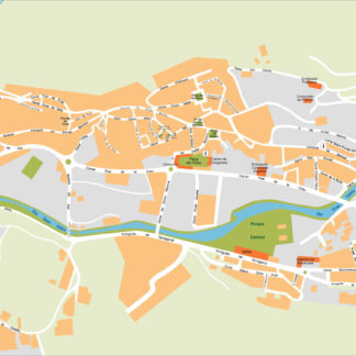
Andorra la Vella eps map vector
495.00 € Select options -

Andorra la Vella eps illustrator vector map
140.00 € Select options
Showing all 10 resultsSorted by latest
