Belgium eps city maps
Digital map collections in Adobe Illustrator EPS format are a valuable resource for web designers and cartographers. These collections typically include a range of maps for different countries, regions, and cities, each of which can be customized and edited to suit specific needs.
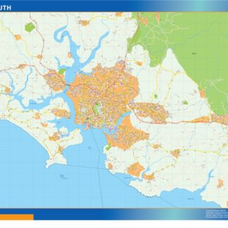
For example, the Belgium EPS city maps collection might include detailed maps of major cities such as Brussels, Antwerp, and Ghent, as well as maps of smaller towns and villages throughout the country. These maps would typically include a range of features such as roads, landmarks, parks, and other points of interest, as well as detailed information about the layout and geography of each area.
In addition to providing detailed information about specific locations, digital map collections in EPS format can also be used to create custom maps for a variety of purposes. For example, a web designer might use these maps to create interactive maps for a travel website, while a cartographer might use them to create detailed maps for use in academic research or other professional contexts.
Overall, digital map collections in EPS format are a versatile and valuable resource for anyone who needs to create or work with maps, whether for personal or professional use. With their detailed information and customizable features, these maps can help users to better understand and navigate the world around them.
Showing all 12 resultsSorted by latest
-

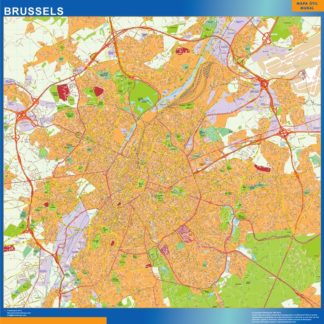
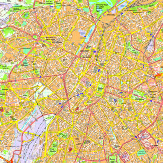
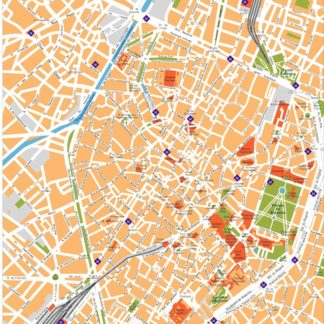
Brussels Illustrator eps map vector
160.00 € Select options -
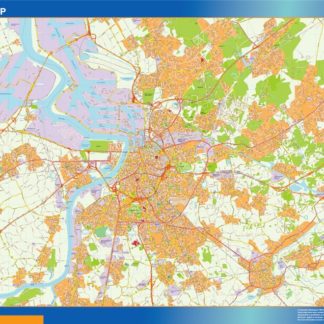
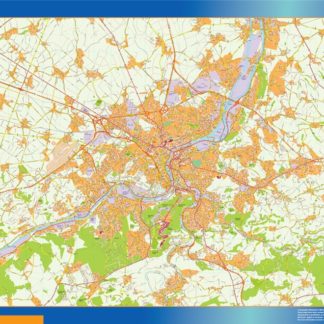
carte anvers eps illustrator
895.00 € Select options -
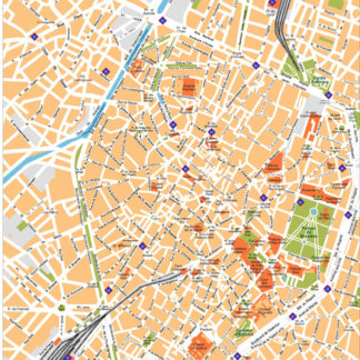
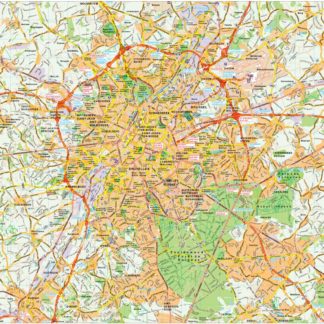
carte bruxelles eps illustrator
995.00 € Select options -
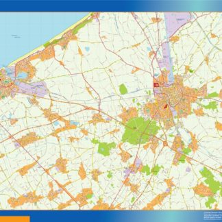
carte brugge eps illustrator
895.00 € Select options -
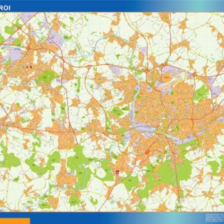
carte charleroi eps illustrator
895.00 € Select options -
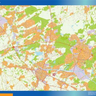
carte gand eps illustrator
895.00 € Select options -
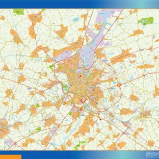
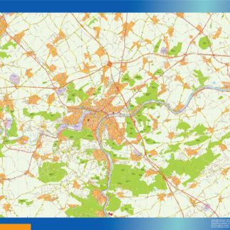
carte hasselt eps illustrator
895.00 € Select options -
carte liege eps illustrator
895.00 € Select options -
carte namur eps illustrator
895.00 € Select options -
Brussels eps map vector
200.00 € Select options -
Brussels eps map vector
495.00 € Select options -
Brussels eps illustrator vector map
140.00 € Select options
Showing all 12 resultsSorted by latest