Denmark Vector EPS maps
Our collection of Denmark Vector EPS maps is a comprehensive set of digital maps created using Adobe Illustrator. These maps are designed to provide accurate and detailed information about the geography, cities, and landmarks of Denmark.
Each map in our collection is created with precision and attention to detail, ensuring that users can easily navigate and explore the country. Our Denmark Vector EPS maps include information about major cities such as Copenhagen, Aarhus, and Odense, as well as important landmarks like the Little Mermaid statue and the Kronborg Castle.
In addition to providing information about the country’s geography and landmarks, our Denmark Vector EPS maps also include important details about the country’s transportation infrastructure, including major highways, airports, and train stations. This information is essential for anyone planning a trip to Denmark or conducting business in the country.
Overall, our collection of Denmark Vector EPS maps is an essential resource for anyone looking to explore or do business in this beautiful and historic country. With accurate and detailed information about the country’s geography, cities, and landmarks, our maps are the perfect tool for navigating Denmark with ease and confidence.
Showing 1–16 of 21 resultsSorted by latest
-

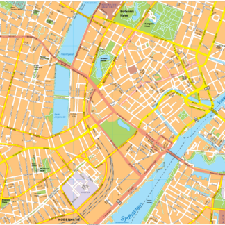
Copenhagen Vector EPS map vector
280.00 € Select options -

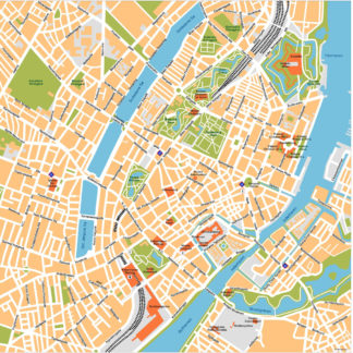
Copenhagen Illustrator eps map vector
160.00 € Select options -

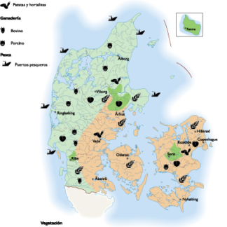
Denmark Agricultural eps map vector
70.00 € Select options -

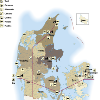
Denmark Economic eps map vector
75.00 € Select options -

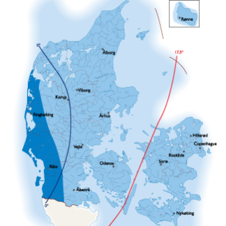
Denmark Climate eps map vector
65.00 € Select options -

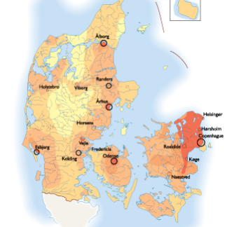
Denmark Population eps map vector
60.00 € Select options -

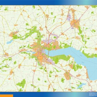
Vejle kort eps illustrator
695.00 € Select options -

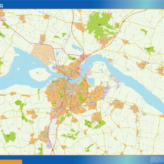
Aalborg kort eps illustrator
795.00 € Select options -

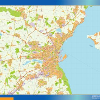
Aarhus kort eps illustrator
795.00 € Select options -

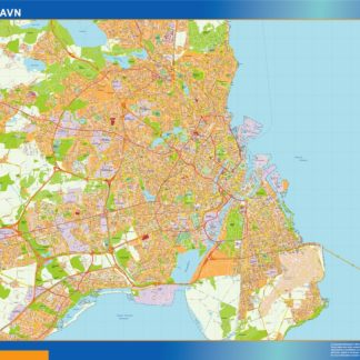
Copenhague kort eps illustrator
995.00 € Select options -

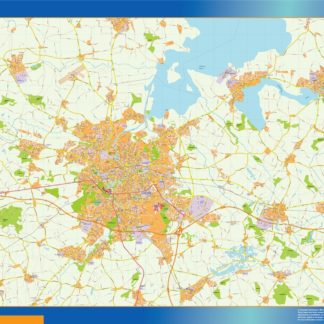
Odense kort eps illustrator
895.00 € Select options -

Oresundsbron kort eps illustrator
695.00 € Select options -

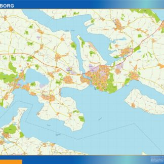
Sonderborg kort eps illustrator
695.00 € Select options -

denmark illustrator eps map vector
29.00 € Select options -

denmark political eps map vector
99.00 € Select options -

denmark blind eps map vector
35.00 € Select options
Showing 1–16 of 21 resultsSorted by latest
