Europe Climate Maps
Digital map collections in Adobe Illustrator EPS format are a valuable resource for web designers and developers. These collections contain high-quality, vector-based maps that can be easily customized and integrated into web projects. One popular type of digital map collection is the Europe Climate Maps collection.
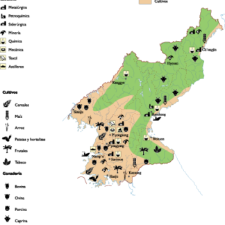
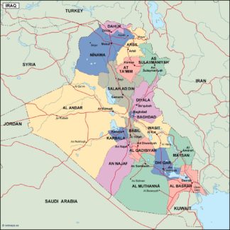
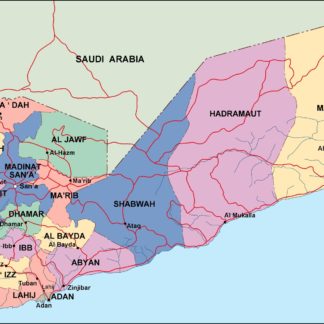
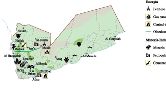
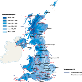
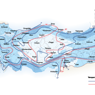
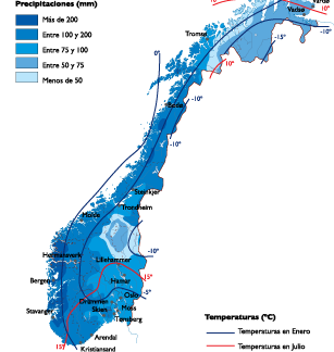
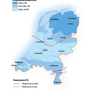
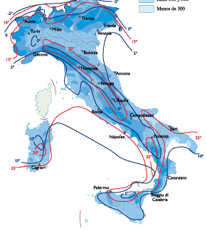
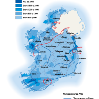
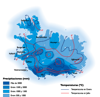
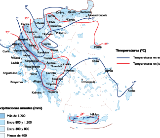
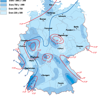
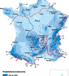
This collection includes maps of various European countries, each showing the climate zones and temperature ranges for that region. The maps are created using Adobe Illustrator EPS format, which allows for easy editing and customization. The maps are also designed to be visually appealing and easy to read, with clear labels and color-coded zones.
In addition to climate information, the maps also include important cities and landmarks for each country. This makes them useful for a variety of web projects, such as travel websites, educational resources, and business presentations.
Some of the countries included in the Europe Climate Maps collection are France, Germany, Italy, Spain, and the United Kingdom. Each map provides a detailed overview of the climate conditions in that country, including average temperatures, precipitation levels, and other important weather data.
Overall, the Europe Climate Maps collection is a valuable resource for anyone looking to incorporate high-quality, customizable maps into their web projects. With its detailed climate information and clear visual design, this collection is sure to be a useful tool for web designers and developers alike.
Showing 1–16 of 22 resultsSorted by latest
-

United Kingdom Climate eps map vector
65.00 € Select options -
Turkey Climate eps map vector
65.00 € Select options -
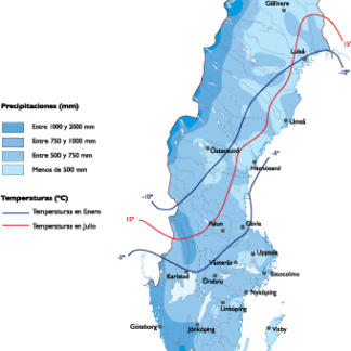
Sweden Climate eps map vector
65.00 € Select options -

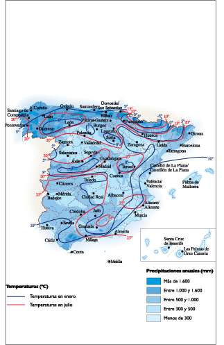
Spain Climate eps map vector
65.00 € Select options -

Slovak Republic Climate eps map vector
65.00 € Select options -
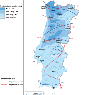
Portugal Climate eps map vector
65.00 € Select options -
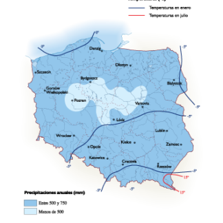
Poland Climate eps map vector
65.00 € Select options -

Norway Climate eps map vector
65.00 € Select options -
Netherlands Climate eps map vector
65.00 € Select options -

Italy Climate eps map vector
65.00 € Select options -
Ireland Climate eps map vector
65.00 € Select options -

Iceland Climate eps map vector
65.00 € Select options -

Hungary Climate eps map vector
65.00 € Select options -

Greece Climate eps map vector
65.00 € Select options -

Germany Climate eps map vector
65.00 € Select options -

France Climate eps map vector
65.00 € Select options


Showing 1–16 of 22 resultsSorted by latest