France eps city maps
Digital map collections in Adobe Illustrator EPS format are a valuable resource for web designers and cartographers. These collections typically include a range of maps for different countries, regions, and cities, each of which can be customized and edited to suit specific needs.
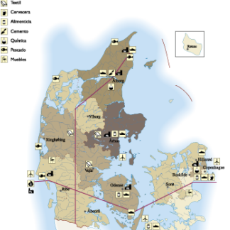
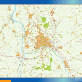
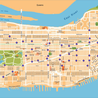
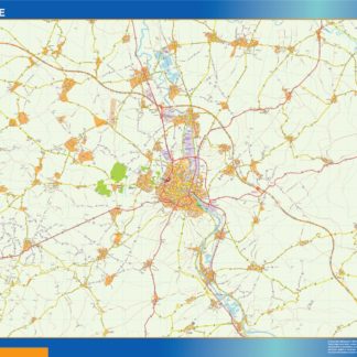
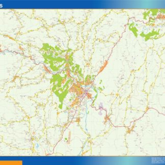
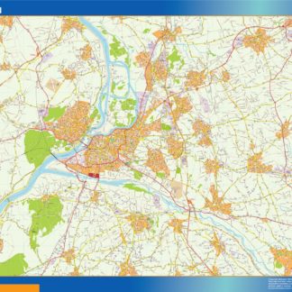
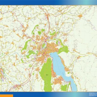
For example, the France EPS city maps collection might include detailed maps of major cities such as Paris, Marseille, Lyon, and Toulouse, as well as maps of smaller towns and villages throughout the country. These maps would typically include a range of features such as roads, highways, landmarks, parks, and other points of interest.
In addition to providing detailed information about the geography and topography of a particular area, digital maps in EPS format can also be used to highlight important cultural and historical landmarks, such as museums, monuments, and other significant sites. This can be particularly useful for tourism and travel websites, as well as for educational and research purposes.
Overall, digital map collections in Adobe Illustrator EPS format are an essential tool for anyone working in the field of cartography or web design. With their detailed and customizable features, these maps provide a wealth of information and visual interest for users, helping to enhance the user experience and improve the overall quality of web content.
Showing 1–16 of 91 resultsSorted by latest
-

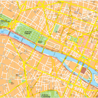
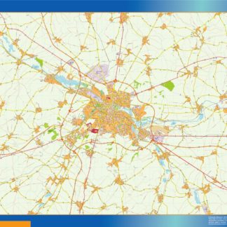
Paris Vector EPS map vector
280.00 € Select options -
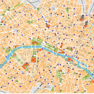
Paris Illustrator eps map vector
160.00 € Select options -
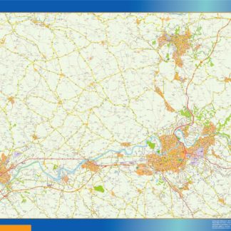
agen carte illustrator eps
795.00 € Select options -
albi carte illustrator eps
795.00 € Select options -
aurillac carte illustrator eps
795.00 € Select options -
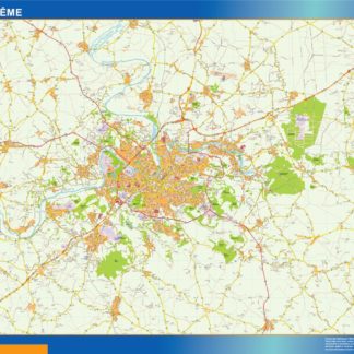
angouleme carte illustrator eps
795.00 € Select options -
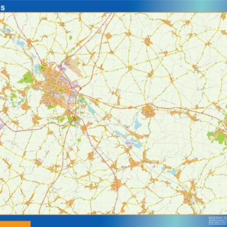
arras carte illustrator eps
795.00 € Select options -
auxerre carte illustrator eps
795.00 € Select options -
aubenas carte illustrator eps
795.00 € Select options -
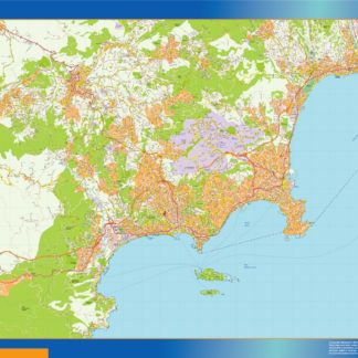
avignon carte illustrator eps
795.00 € Select options -
annecy carte illustrator eps
795.00 € Select options -
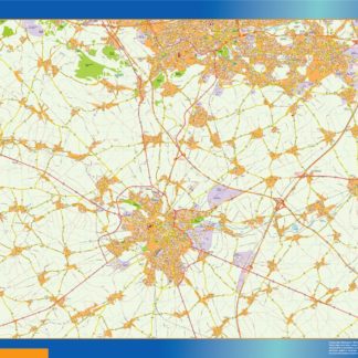
amiens carte illustrator eps
795.00 € Select options -
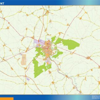
chaumont carte illustrator eps
795.00 € Select options -
beauvais carte illustrator eps
795.00 € Select options -
cannes carte illustrator eps
795.00 € Select options -
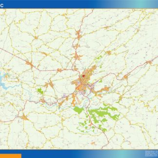
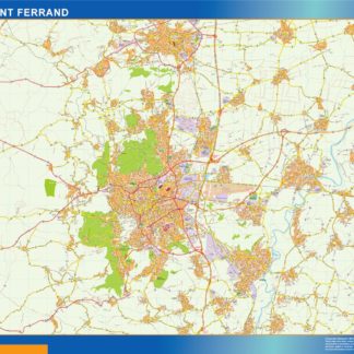
clermont ferrand carte illustrator eps
795.00 € Select options
Showing 1–16 of 91 resultsSorted by latest