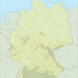
Germany eps country maps
Our collection of digital maps in Adobe Illustrator EPS format includes maps of various countries, including Germany. These maps are designed to be highly detailed and accurate, providing users with a comprehensive view of the country’s geography, cities, and landmarks.
The Germany EPS country maps feature all major cities, including Berlin, Munich, Frankfurt, and Hamburg, as well as smaller towns and villages. The maps also highlight important landmarks and attractions, such as the Brandenburg Gate, Neuschwanstein Castle, and the Black Forest.
In addition to providing a detailed view of the country’s geography and landmarks, our Germany EPS country maps also include important information about the country’s political and economic situation. This includes information about the country’s government, economy, and major industries.
Whether you are a traveler planning a trip to Germany, a business owner looking to expand your operations in the country, or a student studying German geography and culture, our collection of digital maps in Adobe Illustrator EPS format is an invaluable resource. With highly detailed and accurate maps of Germany and other countries around the world, you can explore the world from the comfort of your own computer.
Showing all 8 resultsSorted by latest
-

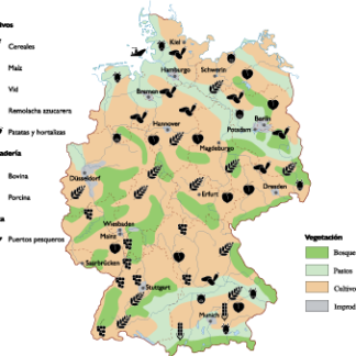
Germany Agricultural eps map vector
70.00 € Select options -

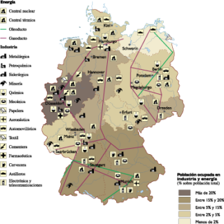
Germany Economic eps map vector
75.00 € Select options -

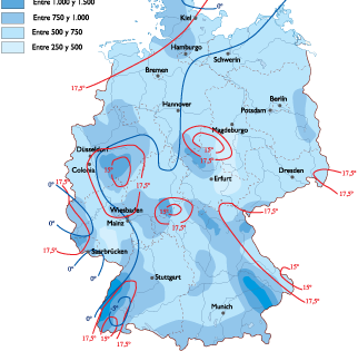
Germany Climate eps map vector
65.00 € Select options -

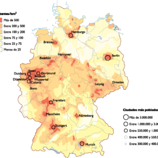
Germany Population eps map vector
60.00 € Select options -

germany illustrator eps map vector
29.00 € Select options -

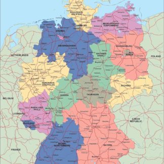
germany political eps map vector
99.00 € Select options -

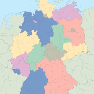
germany blind eps map vector
35.00 € Select options -

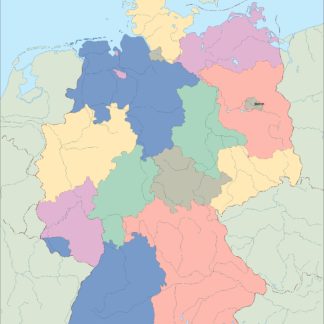
germany eps map vector
39.00 € Select options
Showing all 8 resultsSorted by latest
