Italy eps country maps
Our collection of digital maps in Adobe Illustrator EPS format includes maps of various countries, including Italy. These maps are designed to be highly detailed and accurate, providing users with a comprehensive view of the country’s geography, cities, and landmarks.
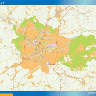
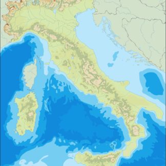
The Italy EPS country maps feature all major cities, including Rome, Milan, Naples, and Florence, as well as smaller towns and villages. The maps also highlight important landmarks and attractions, such as the Colosseum, the Leaning Tower of Pisa, and the Vatican City.
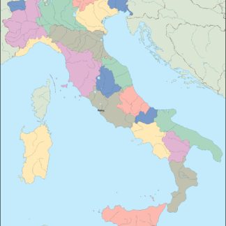
In addition to providing a detailed view of Italy’s geography and landmarks, our digital maps also include important information about the country’s political and administrative divisions. This includes the regions and provinces of Italy, as well as the borders of neighboring countries.
Our Italy EPS country maps are ideal for a wide range of applications, including educational materials, travel guides, and business presentations. They are easy to customize and can be used to create a variety of different visual aids, such as posters, brochures, and interactive maps.
Overall, our collection of digital maps in Adobe Illustrator EPS format provides users with a powerful tool for exploring and understanding the geography and culture of Italy and other countries around the world.
Showing all 8 resultsSorted by latest
-

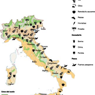
Italy Agricultural eps map vector
70.00 € Select options -
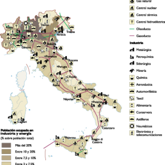
Italy Economic eps map vector
75.00 € Select options -

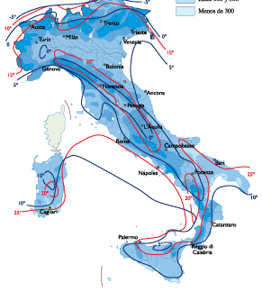
Italy Climate eps map vector
65.00 € Select options -

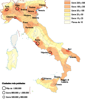
Italy Population eps map vector
60.00 € Select options -
italy illustrator eps map vector
29.00 € Select options -
italy political eps map vector
99.00 € Select options -
italy blind eps map vector
35.00 € Select options -
italy eps map vector
39.00 € Select options


Showing all 8 resultsSorted by latest