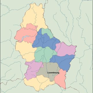
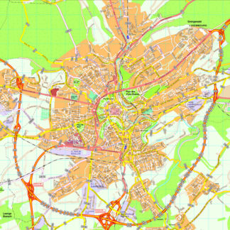
Luxembourg Vector EPS maps
Welcome to epsmaps.com, your go-to source for high-quality digital maps in Adobe Illustrator EPS format. Our collection includes maps of various countries, each with unique features and details that are essential for businesses and organizations.
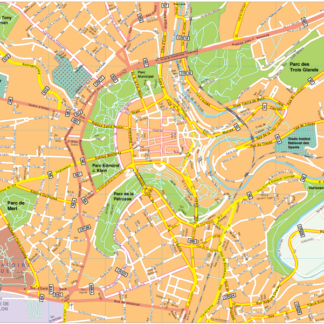
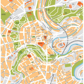
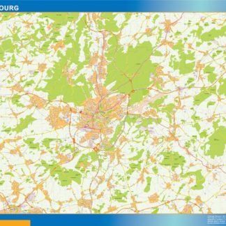
One of our popular maps is the Luxembourg Vector EPS map, which provides a comprehensive view of this small but significant European country. The map includes all major cities, towns, and villages, as well as important landmarks and geographical features.
Luxembourg is situated in Western Europe, bordered by Belgium to the west and north, Germany to the east, and France to the south. It is a landlocked country with a total area of 2,586 square kilometers and a population of approximately 626,000 people.
The capital city of Luxembourg is also named Luxembourg and is located in the southern part of the country. It is a major financial center and home to several European Union institutions, including the European Court of Justice and the European Investment Bank.
Other important cities in Luxembourg include Esch-sur-Alzette, Differdange, and Dudelange. The country is known for its picturesque countryside, historic castles, and vibrant cultural scene.
Our Luxembourg Vector EPS map is perfect for businesses and organizations that need to visualize and analyze data related to this country. It is fully editable and customizable, allowing you to add your own data and information to the map.
So, whether you are a business owner, researcher, or student, our collection of digital maps in Adobe Illustrator EPS format is an essential tool for your work. Browse our website today to find the perfect map for your needs.
Showing all 11 resultsSorted by latest
-

Luxembourg Vector EPS map vector
280.00 € Select options -

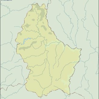
Luxembourg Illustrator Map
160.00 € Select options -

Luxembourg eps map vector
690.00 € Select options -

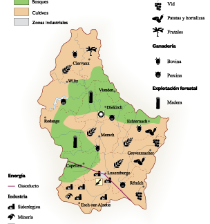
Luxembourg Economic eps map vector
75.00 € Select options -

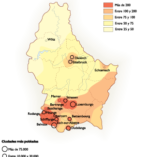
Luxembourg Population eps map vector
60.00 € Select options -

luxembourg illustrator map
29.00 € Select options -

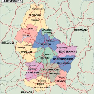
luxembourg political eps map vector
99.00 € Select options -

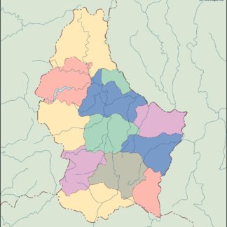
luxembourg blind eps map vector
35.00 € Select options -

luxembourg eps map vector
39.00 € Select options -

Luxembourg eps map vector
495.00 € Select options -

Luxembourg eps illustrator vector map
140.00 € Select options
Showing all 11 resultsSorted by latest
