Norway Vector EPS maps
Our collection of Norway Vector EPS maps is a comprehensive set of digital maps created using Adobe Illustrator. These maps are designed to provide accurate and detailed information about the geography, topography, and cities of Norway.
Each map in our collection is created with precision and attention to detail, ensuring that users can easily navigate and explore the country. The maps are available in a range of scales, from large-scale maps that show the entire country to smaller-scale maps that focus on specific regions or cities.
Our Norway Vector EPS maps include important information about the country’s major cities, including Oslo, Bergen, Trondheim, and Stavanger. These maps also highlight important landmarks and attractions, such as the fjords, mountains, and national parks.
In addition to providing detailed information about Norway’s geography and cities, our Vector EPS maps are also designed to be easy to use and customize. Users can easily add their own data and information to the maps, making them ideal for a wide range of applications, from tourism and travel to business and education.
Overall, our collection of Norway Vector EPS maps is an essential resource for anyone looking to explore and understand this beautiful and fascinating country. Whether you’re a tourist, a student, or a business professional, these maps will provide you with the information you need to navigate and explore Norway with confidence and ease.
Showing 1–16 of 21 resultsSorted by latest
-

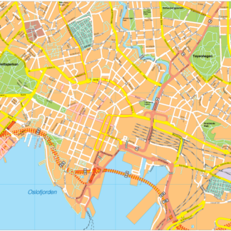
Oslo Vector EPS map vector
280.00 € Select options -

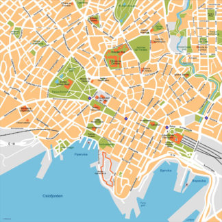
Oslo Illustrator eps map vector
160.00 € Select options -

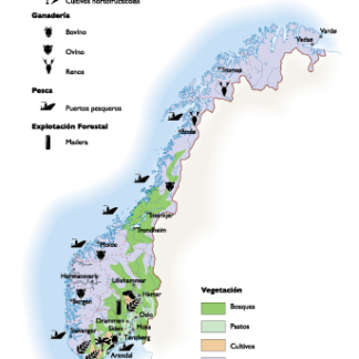
Norway Agricultural eps map vector
70.00 € Select options -

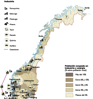
Norway Economic eps map vector
75.00 € Select options -

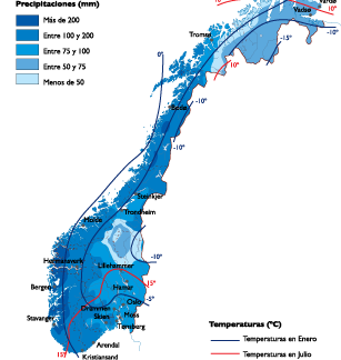
Norway Climate eps map vector
65.00 € Select options -

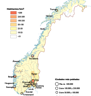
Norway Population eps map vector
60.00 € Select options -

Bergen kart eps illustrator
795.00 € Select options -

Tromso kart eps illustrator
495.00 € Select options -

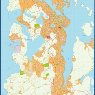
Stavanger kart eps illustrator
795.00 € Select options -

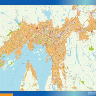
Oslo kart eps illustrator
895.00 € Select options -

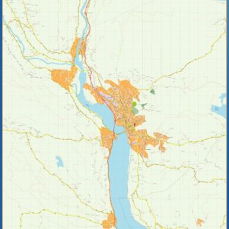
Lillehammer kart eps illustrator
495.00 € Select options -

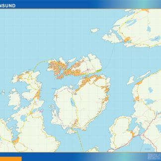
Kristiansund kart eps illustrator
495.00 € Select options -

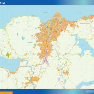
Trondheim kart eps illustrator
695.00 € Select options -

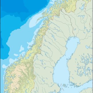
norway illustrator eps map vector
29.00 € Select options -

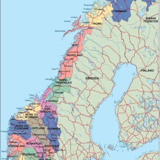
norway political eps map vector
99.00 € Select options -

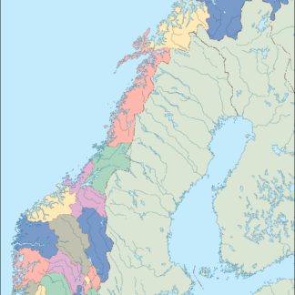
norway blind eps map vector
35.00 € Select options
Showing 1–16 of 21 resultsSorted by latest
