Norway eps city maps
Digital map collections in Adobe Illustrator EPS format are a valuable resource for web designers and cartographers alike. These collections typically include a range of maps for different countries, regions, and cities, each of which can be customized and edited to suit specific needs.
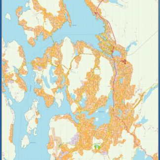
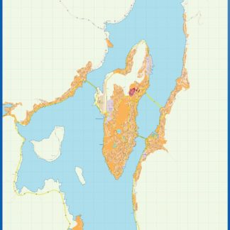
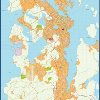
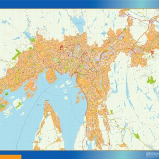
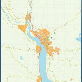
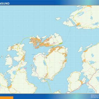
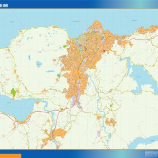
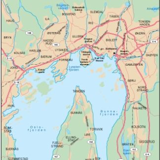
For example, the Norway EPS city maps collection might include detailed maps of major cities such as Oslo, Bergen, and Trondheim, as well as smaller towns and villages throughout the country. These maps would typically feature a range of geographic and cultural information, including the location of important landmarks, transportation routes, and natural features such as rivers and mountains.
In addition to providing detailed information about specific locations, digital map collections in EPS format can also be used to create thematic maps that highlight specific data or trends. For example, a map of Norway’s population density might use color-coding to show which areas of the country are most densely populated, while a map of the country’s natural resources might use symbols and labels to indicate the location of oil fields, forests, and other important resources.
Overall, digital map collections in EPS format are a versatile and powerful tool for anyone who needs to create accurate and informative maps for web or print. Whether you’re a professional cartographer or a web designer looking to add some visual interest to your site, these collections are an essential resource that can help you create maps that are both beautiful and informative.
Showing all 13 resultsSorted by latest
-

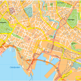
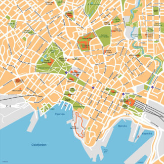
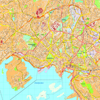
Oslo Vector EPS map vector
280.00 € Select options -
Oslo Illustrator eps map vector
160.00 € Select options -
Bergen kart eps illustrator
795.00 € Select options -
Tromso kart eps illustrator
495.00 € Select options -
Stavanger kart eps illustrator
795.00 € Select options -
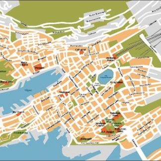
Oslo kart eps illustrator
895.00 € Select options -
Lillehammer kart eps illustrator
495.00 € Select options -
Kristiansund kart eps illustrator
495.00 € Select options -
Trondheim kart eps illustrator
695.00 € Select options -
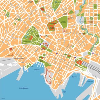
Oslo city eps map vector
65.00 € Select options -
Oslo eps map vector
495.00 € Select options -
Bergen eps illustrator vector map
140.00 € Select options -
Oslo eps illustrator vector map
140.00 € Select options
Showing all 13 resultsSorted by latest