Norway eps country maps
Our collection of digital maps in Adobe Illustrator EPS format includes maps of various countries, including Norway. These maps are designed to be highly detailed and accurate, providing users with a comprehensive view of the country’s geography, topography, and major cities.
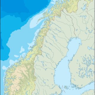
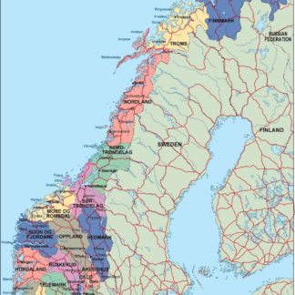
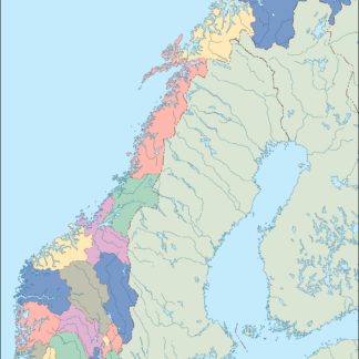
Norway EPS country maps feature a range of important information, including the location of major cities such as Oslo, Bergen, and Trondheim. These maps also highlight the country’s extensive coastline, fjords, and mountain ranges, providing users with a clear understanding of Norway’s unique geography.
In addition to providing a detailed view of the country’s physical features, our Norway EPS country maps also include important information about the country’s political boundaries, including its regions and municipalities. This information is essential for anyone looking to conduct research or analysis on Norway’s political landscape.
Overall, our collection of digital maps in Adobe Illustrator EPS format provides users with a powerful tool for exploring and understanding the geography and political landscape of Norway and other countries around the world. Whether you’re a researcher, student, or simply a curious traveler, these maps are an essential resource for gaining a deeper understanding of the world around us.
Showing all 15 resultsSorted by latest
-

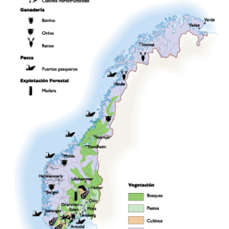
Norway Agricultural eps map vector
70.00 € Select options -

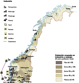
Norway Economic eps map vector
75.00 € Select options -

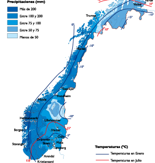
Norway Climate eps map vector
65.00 € Select options -
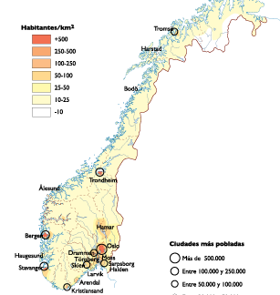
Norway Population eps map vector
60.00 € Select options -
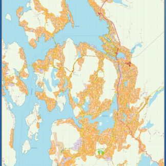
Bergen kart eps illustrator
795.00 € Select options -
Tromso kart eps illustrator
495.00 € Select options -
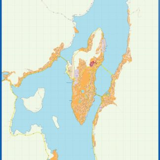
Stavanger kart eps illustrator
795.00 € Select options -
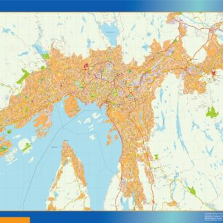
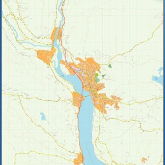
Oslo kart eps illustrator
895.00 € Select options -
Lillehammer kart eps illustrator
495.00 € Select options -
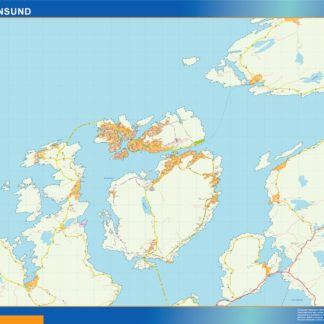
Kristiansund kart eps illustrator
495.00 € Select options -
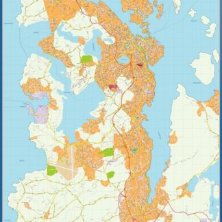
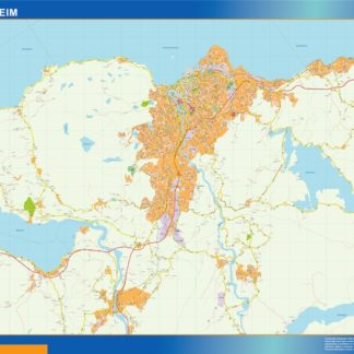
Trondheim kart eps illustrator
695.00 € Select options -
norway illustrator eps map vector
29.00 € Select options -
norway political eps map vector
99.00 € Select options -
norway blind eps map vector
35.00 € Select options -
norway eps map vector
39.00 € Select options

Showing all 15 resultsSorted by latest