Africa PPT Maps
Africa PPT Maps is a collection of digital maps created in Adobe Illustrator EPS format. These maps are designed to provide detailed information about the geography, cities, and important locations of various African countries. Each map is carefully crafted to provide accurate and up-to-date information, making it an essential tool for anyone looking to explore or study the African continent.
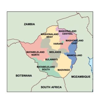
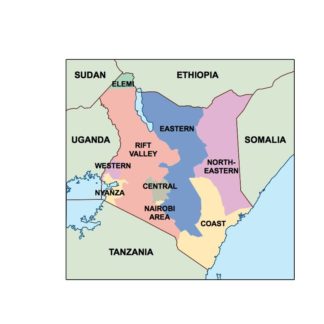
The collection includes maps of countries such as Egypt, South Africa, Nigeria, Kenya, and many more. Each map is labeled with important cities, landmarks, and geographical features, making it easy to navigate and understand. The maps are also color-coded to highlight different regions and territories, providing a clear visual representation of the country’s political and geographical divisions.
In addition to providing detailed information about each country, the Africa PPT Maps collection also includes maps of the entire African continent. These maps provide a comprehensive overview of the continent’s geography, including its deserts, mountains, rivers, and other important features.
Whether you’re a student, researcher, or traveler, the Africa PPT Maps collection is an invaluable resource for anyone interested in exploring the African continent. With its detailed information, accurate maps, and easy-to-use format, this collection is sure to become an essential tool for anyone looking to learn more about Africa.
Showing 1–16 of 54 resultsSorted by latest
-

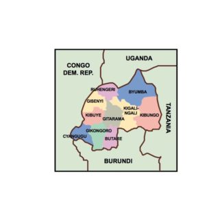
rwanda powerpoint for presentations
18.00 € Add to cart -
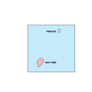
sao tome and principe powerpoint for presentations
18.00 € Add to cart -
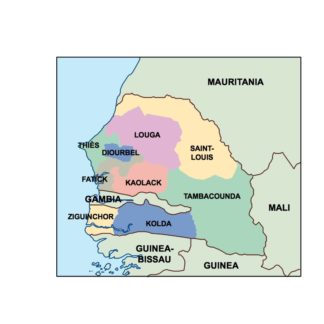
senegal powerpoint for presentations
18.00 € Add to cart -
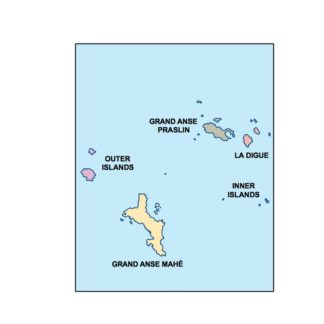
seychelles powerpoint for presentations
18.00 € Add to cart -
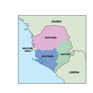
sierra leone powerpoint for presentations
18.00 € Add to cart -
somalia powerpoint for presentations
18.00 € Add to cart -
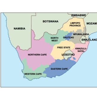
south africa powerpoint for presentations
18.00 € Add to cart -
sudan powerpoint for presentations
18.00 € Add to cart -
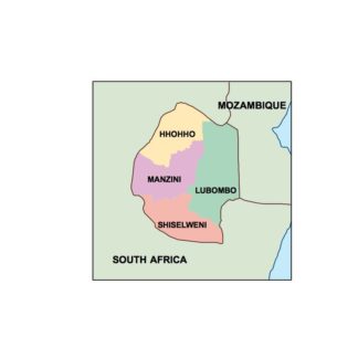
swaziland powerpoint for presentations
18.00 € Add to cart -
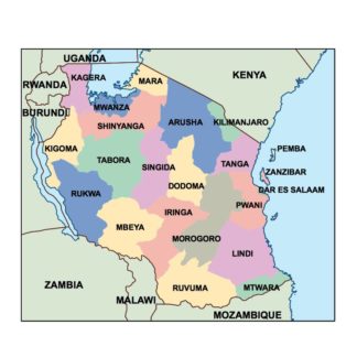
tanzania powerpoint for presentations
18.00 € Add to cart -
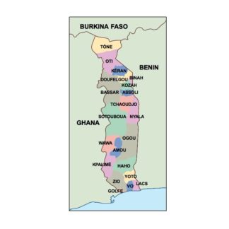
togo powerpoint for presentations
18.00 € Add to cart -
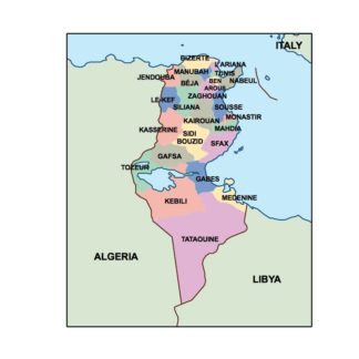
tunisia powerpoint for presentations
18.00 € Add to cart -
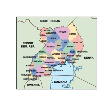
uganda powerpoint for presentations
18.00 € Add to cart -
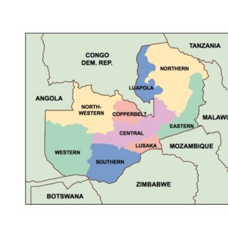
zambia powerpoint for presentations
18.00 € Add to cart -
zimbabwe powerpoint for presentations
18.00 € Add to cart -
kenya powerpoint for presentations
18.00 € Add to cart


Showing 1–16 of 54 resultsSorted by latest