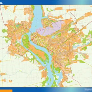
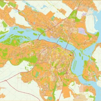
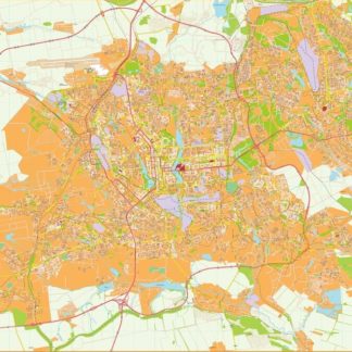
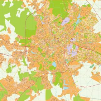
Ukraine eps city maps
Digital map collections in Adobe Illustrator EPS format are a valuable resource for web designers and developers who need to create visually appealing and accurate maps for their projects. These collections typically include maps of various countries, regions, and cities, each of which is designed to be easily editable and customizable.
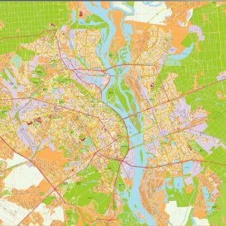
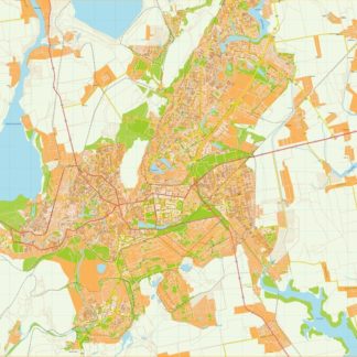
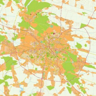
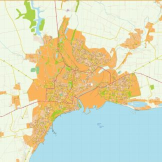
One example of such a collection is the Ukraine EPS city maps, which includes detailed maps of all major cities in Ukraine, including Kiev, Lviv, Odessa, and Kharkiv. These maps are designed to be highly accurate and include all major landmarks, roads, and other important features.
In addition to providing accurate geographical information, these maps also include important cultural and historical information about each city, such as notable landmarks, historical sites, and other points of interest. This information can be used to create engaging and informative maps that are both visually appealing and informative.
Overall, digital map collections in Adobe Illustrator EPS format are an essential tool for web designers and developers who need to create accurate and visually appealing maps for their projects. Whether you are creating a website for a travel agency, a local business, or a government agency, these maps can help you create engaging and informative content that will capture the attention of your audience and help you achieve your goals.
Showing all 12 results
-

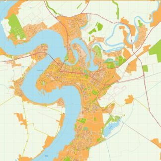
Zaporijia Illustrator eps map vector
695.00 € Select options -

Dnipropetrovsk Illustrator eps map vector
795.00 € Select options -

Donetsk Illustrator eps map vector
895.00 € Select options -

Jarkov Illustrator eps map vector
795.00 € Select options -

Kiev Illustrator eps map vector
895.00 € Select options -

Krivoy rog Illustrator eps map vector
695.00 € Select options -

Leopoli Illustrator eps map vector
695.00 € Select options -

Mariupol Illustrator eps map vector
695.00 € Select options -

Mikolaiv Illustrator eps map vector
795.00 € Select options -

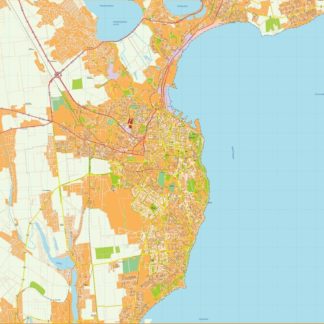
Odesa Illustrator eps map vector
795.00 € Select options -

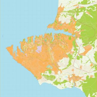
Sebastopol Illustrator eps map vector
895.00 € Select options -

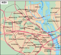
Kiev city eps map vector
65.00 € Select options
Showing all 12 results
