Description
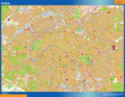
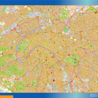
paris carte illustrator. Download our Paris map, the capital of France and one of the largest cities of Europe. Paris Map is a file as illustrator .ai Vector eps format. Cartes EPS Illustrator. Vector Maps of Cities of France
Acitymap from Netmaps® pioneered the use of firstly MacroMedia Freehand and later Adobe Illustrator® for map-making.
From 1997 using the graphic tools in vector software as Adobe Illustrator, we have created a map collection that set the standard for professional quality vector maps for graphic design professionals in all the world. Clients in 118 countries is our best reference.
Our maps are ready to use, and give you the flexibility to easily modify the appearance of the map to meet a wide variety of design specifications for any project – print, web, multi-media, and broadcast.
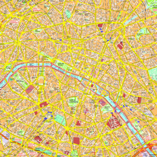
In our series of Vector City Maps, you can find street names and information for area of the city in our digital file.
Once you order map online we will send you map via email and We Transfer. It is a manual service for security reasons and it takes usually just minutes.
