pau carte illustrator eps

795.00 

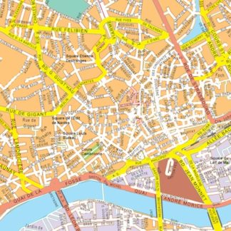
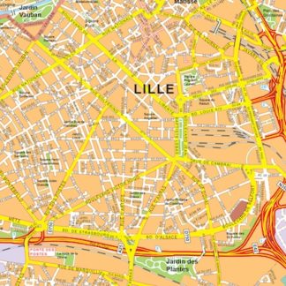
The vector EPS map of the city highlights its main streets and parks, as well as its location within the country. The map is created using Adobe Illustrator EPS format.

The city’s main streets are clearly marked, with different colors and line thicknesses indicating their importance and size. The parks are also highlighted, with green areas indicating their location and size.

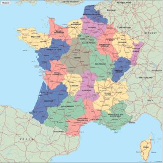
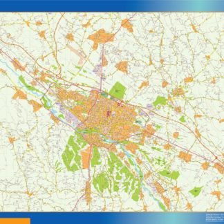
The map shows the city’s location within the country, with neighboring cities and towns also marked. Major highways and transportation routes are also included, making it easy to navigate the area.

Overall, the vector EPS map of the city is a useful tool for anyone looking to explore the area or plan their travels. Its clear and detailed design makes it easy to read and understand, while its flexibility and versatility make it a valuable resource for a wide range of applications.

Digital file

Our original maps are vector files, but we can export them to other formats as PDF or JPF high resolution (200 dpi). You just need to choose your option below.

Map is sent as Adobe Illustrator file. All information is fully editable

Map is sent as Adobe Illustrator file. All information is fully editable

Map is exported to a pdf file. Pdf can be imported directly as a vector file

Map is exported to a pdf file. Pdf can be imported directly as a vector file

Map is exported to a raster image, 200 dpi. Jpg file is delivered. It is our cheaper option, but maybe is enough for your project.

Map is exported to a raster image, 200 dpi. Jpg file is delivered. It is our cheaper option, but maybe is enough for your project.

Product price:795.00 
Total options:
Order total:
SKU: pau carte illustrator Categories: , Tag:

Description

pau carte illustrator. Cartes EPS Illustrator. Vector Maps of Cities of France
Acitymap from Netmaps® pioneered the use of firstly MacroMedia Freehand and later Adobe Illustrator® for map-making.

From 1997 using the graphic tools in vector software as Adobe Illustrator, we have created a map collection that set the standard for professional quality vector maps for graphic design professionals in all the world. Clients in 118 countries is our best reference.

Our maps are ready to use, and give you the flexibility to easily modify the appearance of the map to meet a wide variety of design specifications for any project – print, web, multi-media, and broadcast.

In our series of Vector City Maps, you can find street names and information for area of the city in our digital file.

Once you order map online we will send you map via email and We Transfer. It is a manual service for security reasons and it takes usually just minutes.