Description
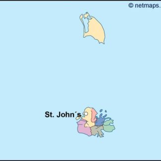
antigua and barbuda vector map. Vector maps from Central America and Caribe Illustrator EPS files, fully editable from our American Country map database. All our digital cartography was created with Vector Adobe Illustrator
Vector eps City maps of the cities and countries of the world. More than 10 000 vector files
39.00 €
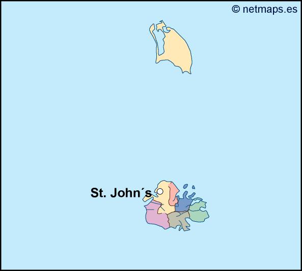
Antigua and Barbuda is a small island nation located in the Caribbean Sea. The country is made up of two main islands, Antigua and Barbuda, as well as several smaller islands. The capital city of Antigua and Barbuda is St. John’s, which is located on the island of Antigua.
The Antigua and Barbuda EPS map vector is a detailed representation of the country’s geography, including its coastline, rivers, and major cities. The map is designed to be used in a variety of applications, including tourism, education, and business.
The map is created using vector graphics, which means that it can be scaled to any size without losing quality. This makes it ideal for use in print materials, such as brochures and posters, as well as digital applications, such as websites and mobile apps.
The map includes a range of features that make it easy to navigate and understand. The coastline of Antigua and Barbuda is clearly defined, with all major bays and inlets marked. The country’s major rivers are also shown, along with their names and lengths.
In addition to the physical features of the country, the map also includes a range of cultural and historical landmarks. These include museums, monuments, and other points of interest that are popular with tourists.
The map also includes a range of useful information for visitors to Antigua and Barbuda. This includes the location of airports, hotels, and other amenities, as well as the location of popular beaches and other attractions.
Overall, the Antigua and Barbuda EPS map vector is an essential tool for anyone looking to explore this beautiful island nation. Whether you are a tourist, a student, or a business owner, this map will help you navigate the country with ease and confidence.
antigua and barbuda vector map. Vector maps from Central America and Caribe Illustrator EPS files, fully editable from our American Country map database. All our digital cartography was created with Vector Adobe Illustrator