Description
bangladesh vector map. Vector maps from Asia. Illustrator EPS files, fully editable from our Asian Country map database. All our digital cartography was created with Vector Adobe Illustrator
Vector eps City maps of the cities and countries of the world. More than 10 000 vector files
39.00 €
illustrator for sale
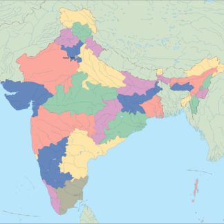
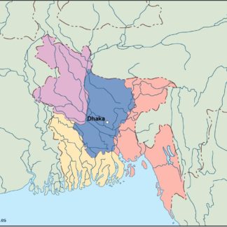
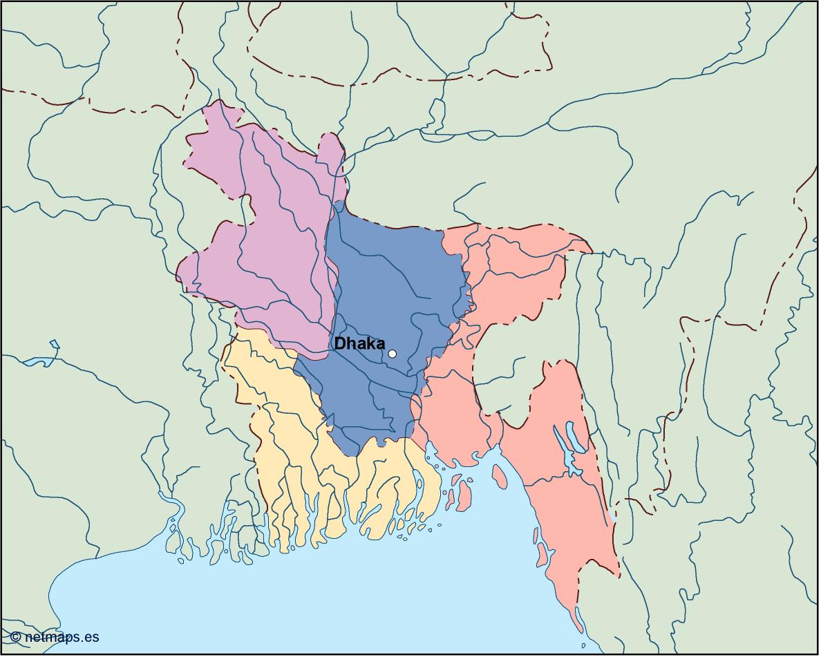
Bangladesh is a country located in South Asia, bordered by India to the north, east, and west, and Myanmar to the southeast. The country has a population of over 160 million people, making it the eighth-most populous country in the world. The capital of Bangladesh is Dhaka, which is also the largest city in the country.
The Bangladesh EPS map vector illustrator for sale is a detailed map of the country, designed for use in various applications such as print, web, and mobile. The map is available in vector format, which means that it can be scaled to any size without losing its quality. The map is also editable, allowing users to customize it to their specific needs.
The map features all the major cities and towns in Bangladesh, including Dhaka, Chittagong, Khulna, Rajshahi, and Sylhet. The map also shows the major rivers in the country, such as the Brahmaputra, Ganges, and Meghna rivers, which are important for transportation and agriculture.
In addition to the cities and rivers, the Bangladesh EPS map vector illustrator for sale also shows the major highways and roads in the country. This is important for businesses and organizations that need to plan their logistics and transportation routes. The map also shows the location of airports and seaports, which are important for international trade and commerce.
One of the unique features of the Bangladesh EPS map vector illustrator for sale is that it shows the location of the Sundarbans, which is the largest mangrove forest in the world. The Sundarbans is a UNESCO World Heritage Site and is home to the Bengal tiger, as well as many other species of flora and fauna.
The map also shows the location of the Chittagong Hill Tracts, which is a mountainous region in southeastern Bangladesh. The Chittagong Hill Tracts is home to many indigenous communities and is known for its natural beauty and biodiversity.
Overall, the Bangladesh EPS map vector illustrator for sale is a comprehensive and detailed map of the country, designed for use in various applications. Whether you are a business owner, a traveler, or a student, this map is an essential tool for understanding the geography and layout of Bangladesh.
bangladesh vector map. Vector maps from Asia. Illustrator EPS files, fully editable from our Asian Country map database. All our digital cartography was created with Vector Adobe Illustrator