Description
equatorial guinea vector map. Vector maps from Africa. Illustrator EPS files, fully editable from our African map database. All our digital cartography was created with Vector Adobe Illustrator
Vector eps City maps of the cities and countries of the world. More than 10 000 vector files
39.00 €
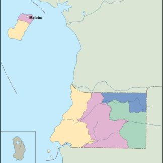
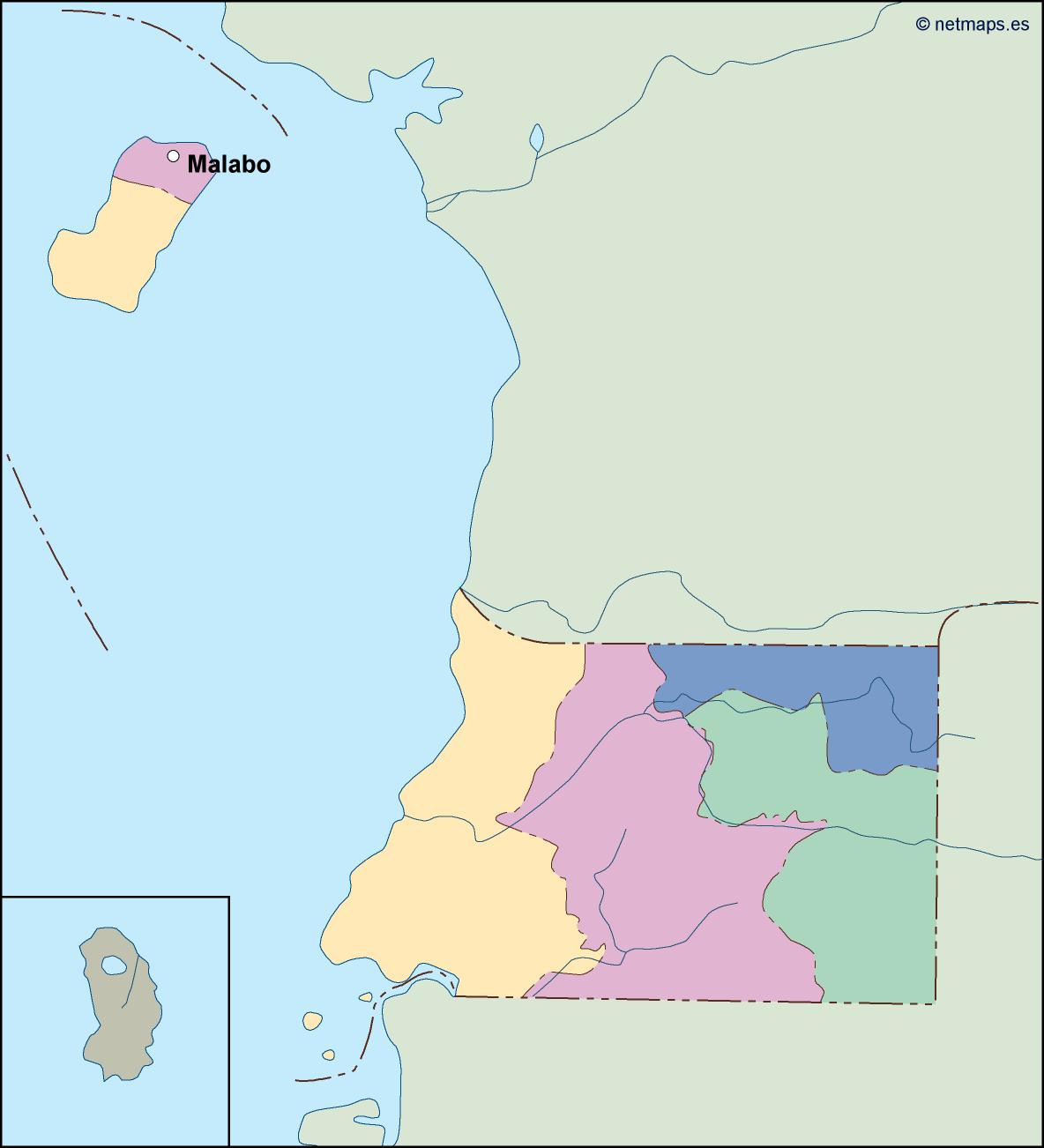
Equatorial Guinea is a small country located in Central Africa. Its capital is Malabo, which is situated on the island of Bioko. The country is bordered by Cameroon to the north, Gabon to the south and east, and the Gulf of Guinea to the west.
The Equatorial Guinea EPS map vector is a detailed representation of the country’s geography, including its major cities, rivers, and topography. The map is designed to be used in a variety of applications, including print and digital media, and is available in a range of formats to suit different needs.
The map is created using vector graphics, which means that it can be scaled up or down without losing quality. This makes it ideal for use in large-scale print projects, such as posters and billboards, as well as in digital media, such as websites and mobile apps.
The Equatorial Guinea EPS map vector includes a range of features that make it easy to use and customize. The map is divided into different layers, which can be turned on or off depending on the user’s needs. This allows users to focus on specific areas of the map, such as cities or rivers, or to view the map as a whole.
The map also includes a range of labels and markers, which provide information about the country’s major cities, rivers, and other landmarks. These labels are designed to be clear and easy to read, even at small sizes, and can be customized to suit different needs.
In addition to its visual features, the Equatorial Guinea EPS map vector also includes a range of data that can be used in a variety of applications. This data includes information about the country’s population, economy, and geography, as well as its political boundaries and administrative divisions.
Overall, the Equatorial Guinea EPS map vector is a valuable tool for anyone looking to explore or do business in this fascinating country. Its detailed and accurate representation of the country’s geography, combined with its customizable features and data, make it an essential resource for anyone working in print or digital media.
equatorial guinea vector map. Vector maps from Africa. Illustrator EPS files, fully editable from our African map database. All our digital cartography was created with Vector Adobe Illustrator