Escaldes eps illustrator vector map
140.00 €
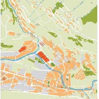
The Escaldes eps illustrator vector map is a high-quality digital map available for purchase on epsmaps.com. It is designed for use by businesses and professionals who require accurate and detailed maps of the city of Escaldes, located in the country of Andorra.
The map is available in both Illustrator vector and eps formats, making it easy to use in a variety of applications. The vector format allows for easy customization and scaling, while the eps format ensures compatibility with a wide range of software programs.
The city of Escaldes is located in the eastern part of Andorra, near the border with Spain. It is known for its hot springs and spa resorts, as well as its beautiful mountain scenery.
The Escaldes eps illustrator vector map includes all of the city’s main streets and landmarks, making it an invaluable tool for businesses and professionals who need to navigate the city or plan routes for deliveries or services. Some of the city’s main streets include Avinguda Carlemany, Carrer de la Unió, and Carrer de les Escoles.
Overall, the Escaldes eps illustrator vector map is a highly detailed and accurate representation of the city, designed to meet the needs of businesses and professionals who require the best possible mapping data.


