Description
ghana vector map. Vector maps from Africa. Illustrator EPS files, fully editable from our African map database. All our digital cartography was created with Vector Adobe Illustrator
Vector eps City maps of the cities and countries of the world. More than 10 000 vector files
39.00 €
illustrator for sale
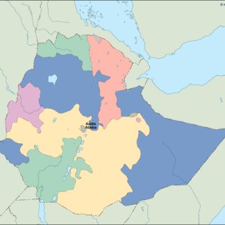
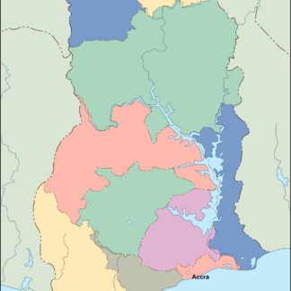
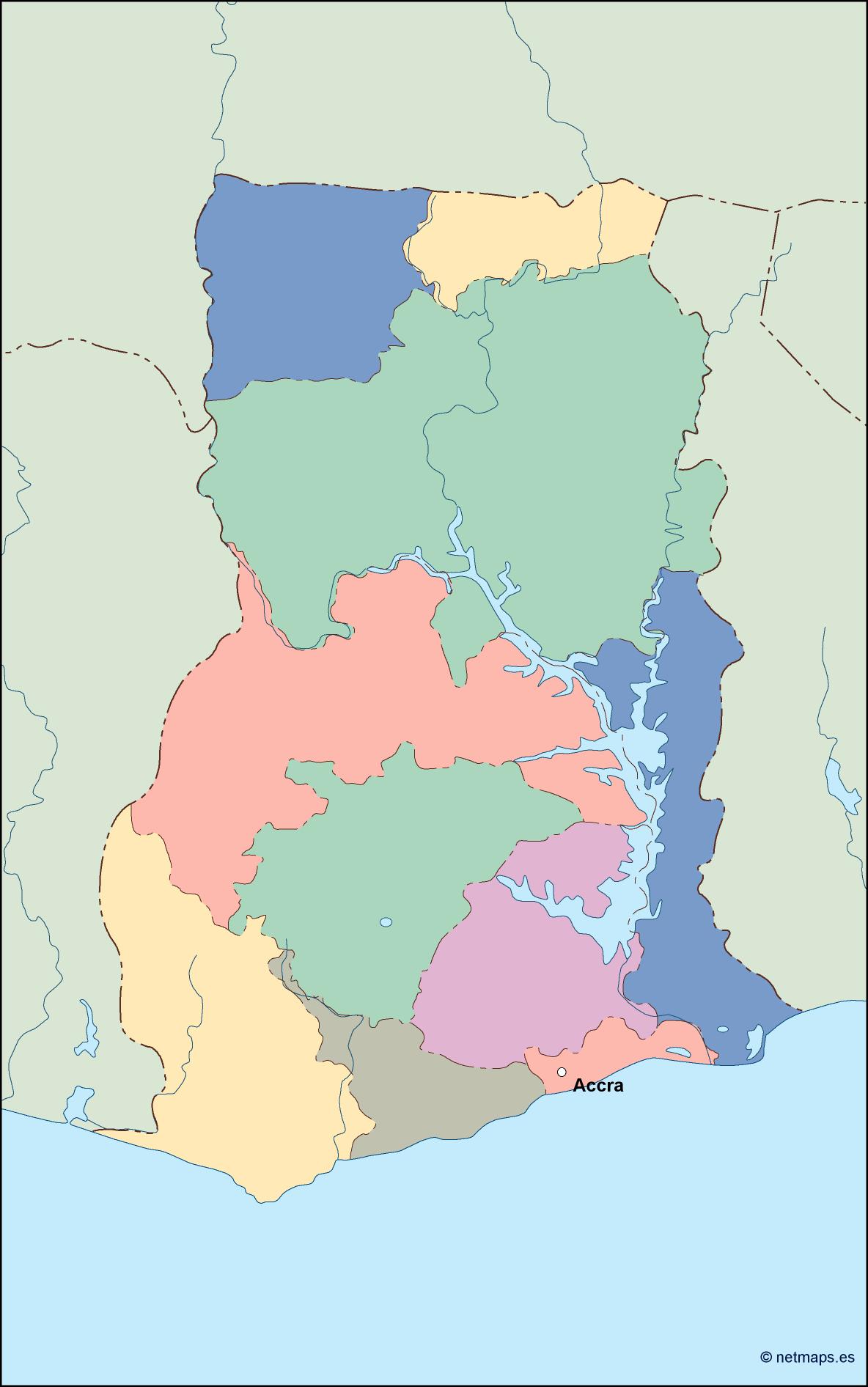
Ghana is a country located in West Africa, bordered by Cote d’Ivoire to the west, Burkina Faso to the north, Togo to the east, and the Gulf of Guinea to the south. The capital city of Ghana is Accra, which is located on the southern coast of the country.
The Ghana EPS map vector illustrator for sale is a detailed and accurate representation of the country’s geography, including its major cities, rivers, lakes, and other important landmarks. The map is designed to be used in a variety of applications, including print and digital media, and is available in a range of formats to suit different needs.
The map is created using vector graphics, which means that it can be scaled up or down without losing any quality or clarity. This makes it ideal for use in large-scale print projects, such as posters or billboards, as well as in digital media, such as websites or mobile apps.
The Ghana EPS map vector illustrator for sale includes a range of features that make it easy to use and customize. The map is fully editable, which means that users can add or remove elements as needed, change colors and fonts, and adjust the layout to suit their specific needs.
The map includes a range of layers, which can be turned on or off depending on the user’s requirements. These layers include political boundaries, major cities, rivers and lakes, and other important features, such as national parks and wildlife reserves.
The map also includes a range of labels and annotations, which provide additional information about the country’s geography and history. These labels include the names of major cities and towns, as well as important landmarks and historical sites.
Overall, the Ghana EPS map vector illustrator for sale is an essential tool for anyone who needs to create high-quality maps of the country. Whether you are a graphic designer, a cartographer, or a researcher, this map provides a detailed and accurate representation of Ghana’s geography, and is sure to be a valuable addition to your toolkit.
ghana vector map. Vector maps from Africa. Illustrator EPS files, fully editable from our African map database. All our digital cartography was created with Vector Adobe Illustrator