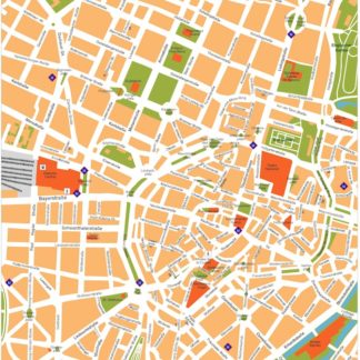
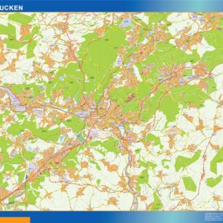
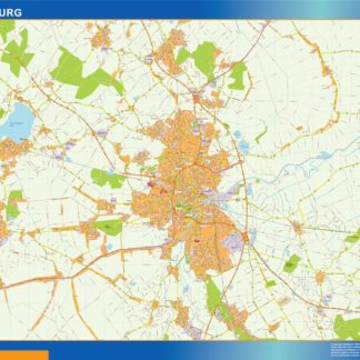
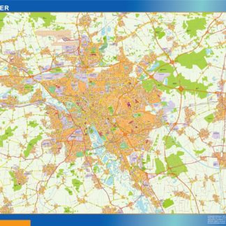
hannover karte illustrator eps

795.00 

The Hannover map in EPS format is a vector image that showcases the city’s main streets and parks. Located in Germany, Hannover is a bustling city with a rich history and culture.

The map highlights the major thoroughfares of the city, including the A2 and A7 highways, which connect Hannover to other major cities in Germany. The city’s main streets, such as Georgstraße and Lister Meile, are also prominently featured on the map.

In addition to its streets, the Hannover map also showcases the city’s many parks and green spaces. The Herrenhausen Gardens, for example, are a major attraction in Hannover and are depicted on the map in great detail. Other notable parks include the Eilenriede Forest and the Maschsee Lake.

Overall, the Hannover map in EPS format is a comprehensive and detailed representation of the city’s layout and landmarks. Whether you’re a resident or a visitor, this map is an invaluable resource for navigating Hannover’s streets and exploring its many attractions.

Digital file

Our original maps are vector files, but we can export them to other formats as PDF or JPF high resolution (200 dpi). You just need to choose your option below.

Map is sent as Adobe Illustrator file. All information is fully editable

Map is sent as Adobe Illustrator file. All information is fully editable

Map is exported to a pdf file. Pdf can be imported directly as a vector file

Map is exported to a pdf file. Pdf can be imported directly as a vector file

Map is exported to a raster image, 200 dpi. Jpg file is delivered. It is our cheaper option, but maybe is enough for your project.

Map is exported to a raster image, 200 dpi. Jpg file is delivered. It is our cheaper option, but maybe is enough for your project.

Product price:795.00 
Total options:
Order total:
SKU: hannover karte illustrator Categories: , Tag:

Description

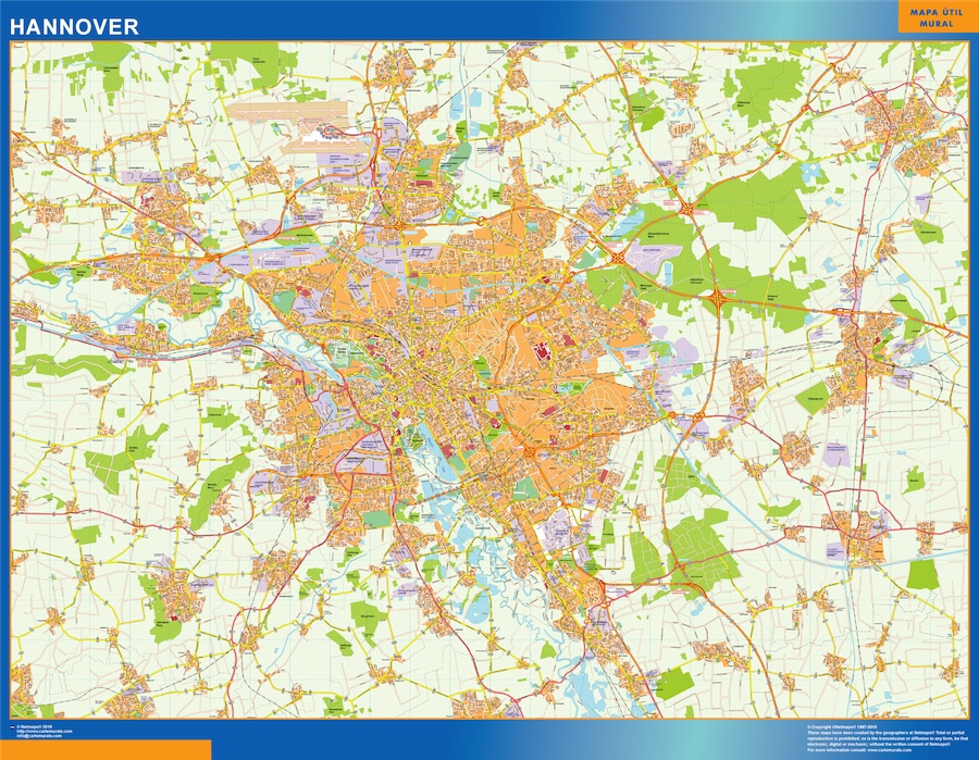
hannover karte illustrator. Hannover karte illustrator. Germany Illustrator EPS Vector maps of Cities. Database of Digital Germany City Maps. Street maps as Illustrator files .ai and .eps. Order and download via Wetransfer our vector maps of any City of Germany. Deutschland Kartographie. Stadtkarte Deutschland
Acitymap from Netmaps® pioneered the use of firstly MacroMedia Freehand and later Adobe Illustrator® for map-making.

From 1997 using the graphic tools in vector software as Adobe Illustrator, we have created a map collection that set the standard for professional quality vector maps for graphic design professionals in all the world. Clients in 118 countries is our best reference.

Our maps are ready to use, and give you the flexibility to easily modify the appearance of the map to meet a wide variety of design specifications for any project – print, web, multi-media, and broadcast.

In our series of Vector City Maps, you can find street names and information for area of the city in our digital file.

Once you order map online we will send you map via email and We Transfer. It is a manual service for security reasons and it takes usually just minutes.