Description
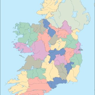
ireland vector map. Vector maps from Europe. Illustrator EPS files, fully editable from our european Country map database. All our digital cartography was created with Vector Adobe Illustrator
Vector eps City maps of the cities and countries of the world. More than 10 000 vector files
39.00 €
Ireland is a beautiful country located in the northwestern part of Europe. It is an island nation that is situated to the west of Great Britain. The country is known for its stunning landscapes, rich history, and vibrant culture. The capital of Ireland is Dublin, which is located on the eastern coast of the country.
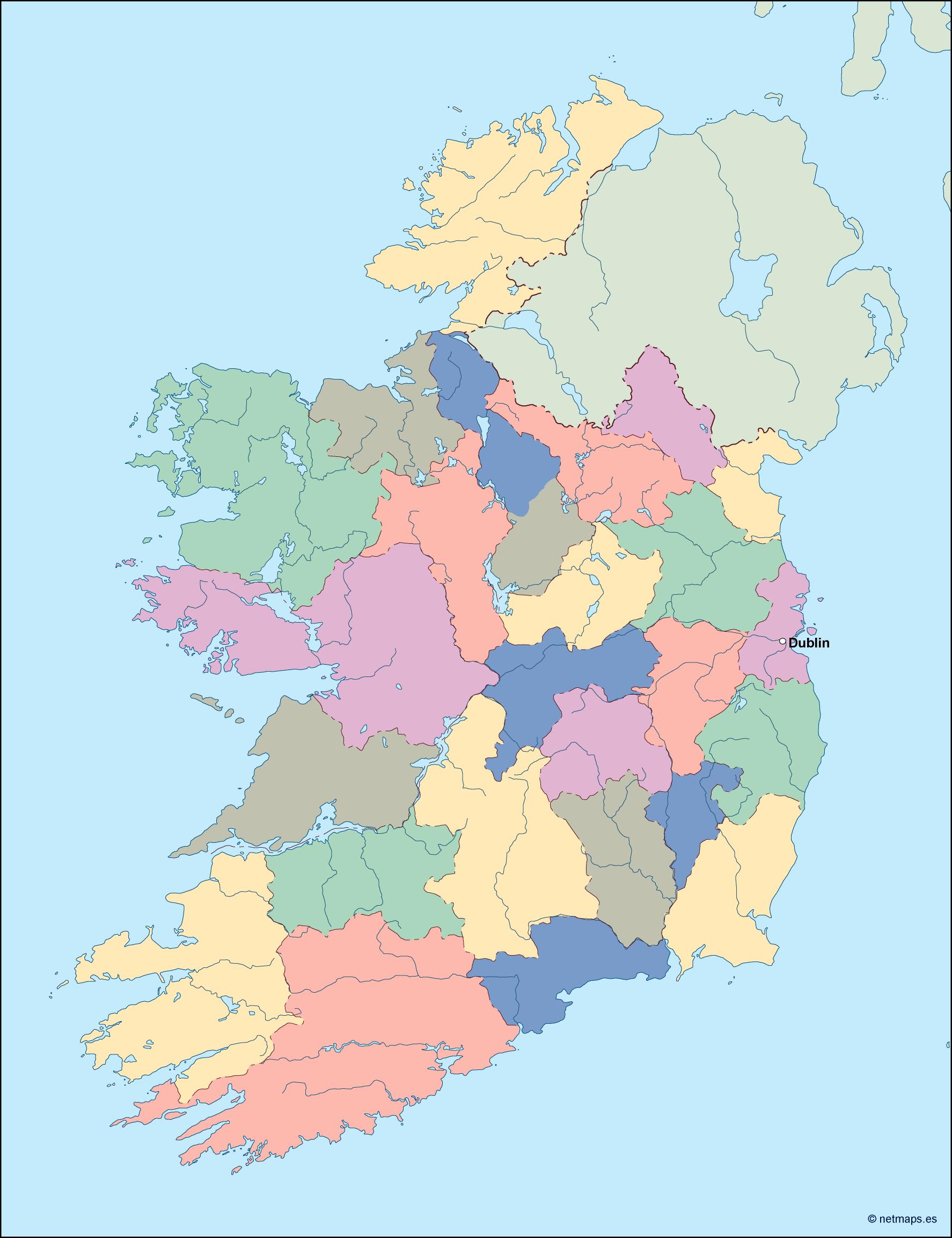
The Ireland EPS map vector is a detailed representation of the country’s geography, including its major cities, towns, and landmarks. The map is designed to be used in a variety of applications, including print and digital media, and is available in a range of formats, including EPS, AI, and PDF.
The map features a range of different elements, including rivers, lakes, mountains, and forests. The coastline of Ireland is also prominently featured, with the map showing the country’s many bays, inlets, and peninsulas. The map also includes a range of different symbols and icons, which are used to represent different types of landmarks and points of interest.
One of the most prominent features of the Ireland EPS map vector is the country’s major cities and towns. These include Dublin, Cork, Limerick, Galway, and Waterford, among others. Each of these cities is represented by a unique symbol, which helps to make them easy to identify on the map.
In addition to the major cities, the map also includes a range of smaller towns and villages, which are scattered throughout the country. These towns are represented by smaller symbols, which are designed to be less prominent than the symbols used for the major cities.
The Ireland EPS map vector also includes a range of different landmarks and points of interest. These include historical sites, such as castles and ruins, as well as natural landmarks, such as mountains and lakes. The map also includes a range of different cultural landmarks, such as museums, galleries, and theaters.
Overall, the Ireland EPS map vector is a comprehensive and detailed representation of the country’s geography and landmarks. It is an essential tool for anyone looking to explore or promote the country, and is available in a range of formats to suit a variety of different applications. Whether you are a tourist, a business owner, or a designer, the Ireland EPS map vector is an invaluable resource that will help you to better understand and appreciate this beautiful and fascinating country.
ireland vector map. Vector maps from Europe. Illustrator EPS files, fully editable from our european Country map database. All our digital cartography was created with Vector Adobe Illustrator