Description
italy vector map. Vector maps from Europe. Illustrator EPS files, fully editable from our european Country map database. All our digital cartography was created with Vector Adobe Illustrator
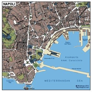
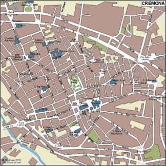
Vector eps City maps of the cities and countries of the world. More than 10 000 vector files
39.00 €
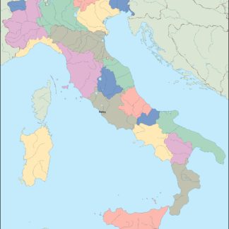
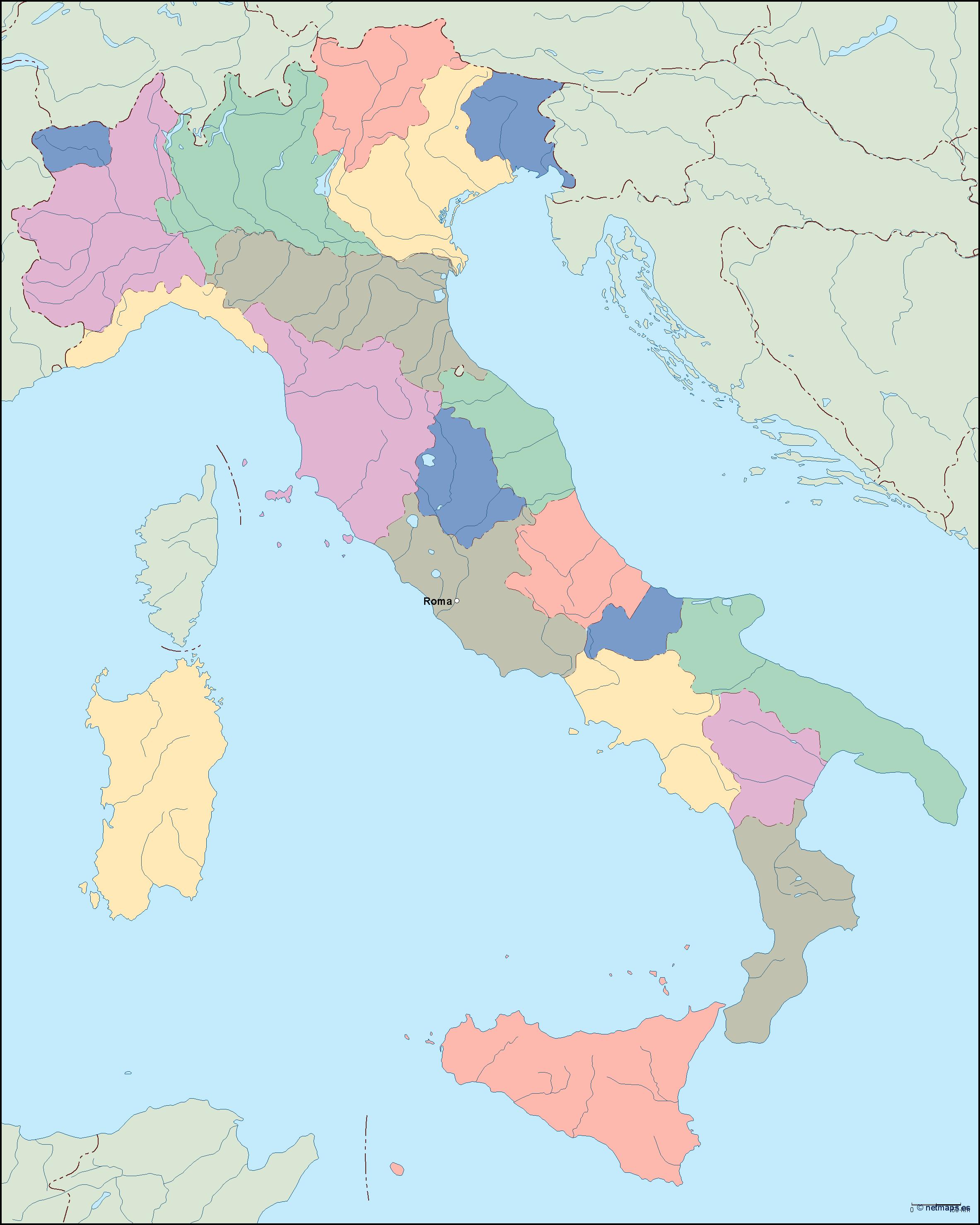
The Italy EPS map vector is a detailed representation of the country of Italy, located in southern Europe. The map includes the name of the country, “Italy,” as well as the name of its capital city, “Rome.” The map also shows the location of Italy within the continent of Europe, highlighting its position on the Mediterranean Sea.
The Italy EPS map vector is created using vector graphics, which allows for easy customization and scaling without losing quality. The map includes a range of features, including major cities, rivers, lakes, and mountain ranges. The map also includes a range of labels and annotations, making it easy to navigate and understand.
Overall, the Italy EPS map vector is an essential tool for anyone looking to explore or do business in Italy. Its high-quality design and detailed features make it an ideal choice for a range of applications, from educational materials to marketing and advertising campaigns.
italy vector map. Vector maps from Europe. Illustrator EPS files, fully editable from our european Country map database. All our digital cartography was created with Vector Adobe Illustrator