Description
mapa lugo. EPS Vector maps of Cities of Spain. The largest database of Spanish City Maps. Mapas Vectoriales Ciudades España en formato Illustrator. Archivos .ai y .eps
Vector eps City maps of the cities and countries of the world. More than 10 000 vector files

140.00 €
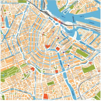
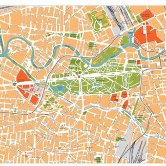
The maps available on epsmaps.com are vector maps created using Adobe Illustrator. These maps are purchased by businesses and professionals who require high-quality, detailed maps for their projects.
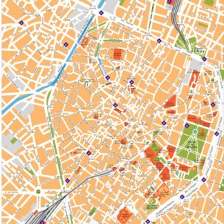
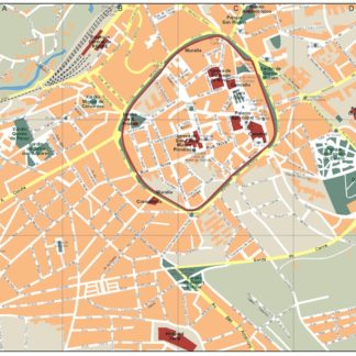
One example of a city map available on epsmaps.com is the map of Lugo, a city located in the northwestern region of Spain. The Lugo map is available in both Illustrator vector and EPS formats.
The Lugo map shows the city’s location in Spain, as well as its major streets and landmarks. Some of the main streets highlighted on the map include Rúa da Raíña, Rúa Nova, and Rúa da Cruz. The map also shows the location of the city’s historic Roman walls, which are a major tourist attraction.
Overall, the Lugo map is a useful tool for businesses and professionals who need to navigate the city or create visual representations of its geography. Its high-quality vector format ensures that it can be scaled up or down without losing resolution, making it a versatile and valuable resource.
mapa lugo. EPS Vector maps of Cities of Spain. The largest database of Spanish City Maps. Mapas Vectoriales Ciudades España en formato Illustrator. Archivos .ai y .eps