Description
mapa palencia. EPS Vector maps of Cities of Spain. The largest database of Spanish City Maps. Mapas Vectoriales Ciudades España en formato Illustrator. Archivos .ai y .eps
Vector eps City maps of the cities and countries of the world. More than 10 000 vector files
140.00 €
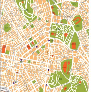
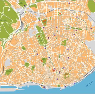
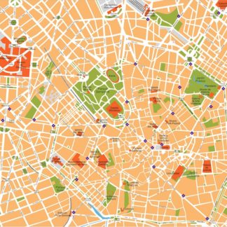
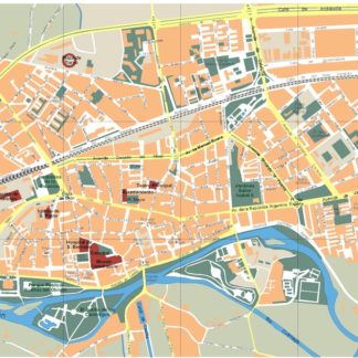
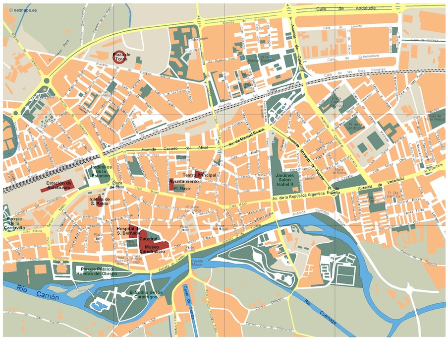
The maps available on epsmaps.com are vector maps created using Illustrator and EPS formats. These maps are purchased by businesses and professionals for various purposes. Let’s take a look at the map of Palencia, a city located in the north of Spain.
Palencia is located in the Castile and León region of Spain. The city’s main streets include Avenida de Cuba, Avenida de Valladolid, and Calle Mayor. The map of Palencia available on epsmaps.com is a detailed vector map that can be easily customized to suit the needs of the user. The EPS format allows for high-quality printing and resizing without losing any of the map’s clarity.
Overall, the map of Palencia available on epsmaps.com is a valuable resource for businesses and professionals who need accurate and detailed maps of the city. Its vector format and high-quality printing capabilities make it a versatile tool for a variety of applications.
mapa palencia. EPS Vector maps of Cities of Spain. The largest database of Spanish City Maps. Mapas Vectoriales Ciudades España en formato Illustrator. Archivos .ai y .eps