Description
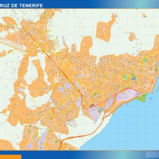
mapa vectorial santa cruz tenerife. EPS Vector maps of Cities of Spain. The largest database of Spanish City Maps. Mapas Vectoriales Ciudades España en formato Illustrator. Archivos .ai y .eps
Vector eps City maps of the cities and countries of the world. More than 10 000 vector files
795.00 €
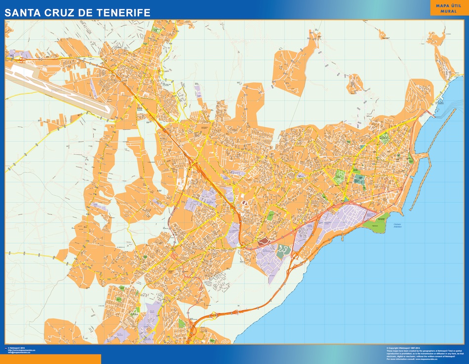
The EPS vector map of Santa Cruz de Tenerife city highlights its main streets and parks, as well as its location in the country. The city is located on the eastern coast of the island of Tenerife, which is part of the Canary Islands, Spain. The map shows the main streets such as Avenida Tres de Mayo, Avenida de Anaga, and Avenida de Venezuela, which connect different parts of the city. The map also highlights the main parks such as Parque García Sanabria, Parque La Granja, and Parque de La Constitución, which are popular recreational areas for locals and tourists alike. The EPS vector map of Santa Cruz de Tenerife city is a useful tool for navigation and planning, providing a clear and detailed overview of the city’s layout and landmarks.
mapa vectorial santa cruz tenerife. EPS Vector maps of Cities of Spain. The largest database of Spanish City Maps. Mapas Vectoriales Ciudades España en formato Illustrator. Archivos .ai y .eps