Description
mappa eps bologna. EPS Vector maps of Cities of Italy. The largest database of Digital Italia City Maps. Street maps as Illustrator files .ai and .eps. Order and download via Wetransfer our italian vector maps. Mappe Vector Italia
Vector eps City maps of the cities and countries of the world. More than 10 000 vector files
895.00 €
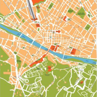
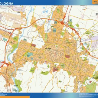
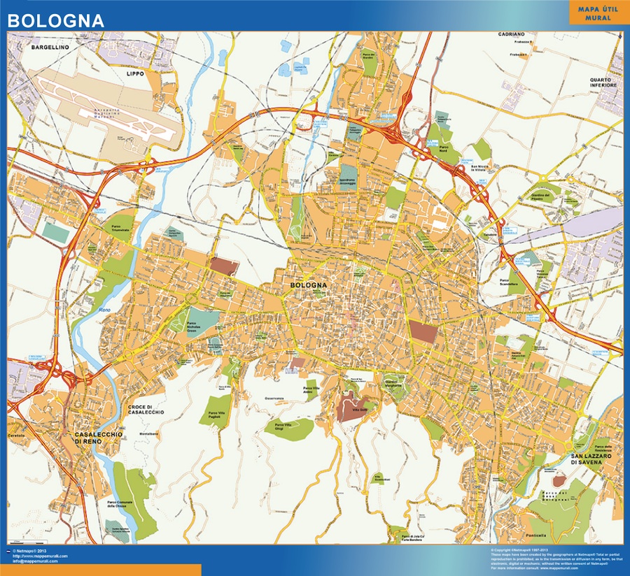
The vector EPS map of Bologna city highlights its main streets and parks, as well as its location in Italy. The city is located in the northern part of the country, in the Emilia-Romagna region. The map shows the main streets such as Via dell’Indipendenza, Via Rizzoli, and Via Ugo Bassi, which are lined with shops, restaurants, and cafes. The city’s main parks, such as Giardini Margherita and Parco della Montagnola, are also highlighted on the map. These parks offer green spaces for residents and visitors to relax and enjoy the outdoors. The map also shows the city’s historic center, which is home to many of Bologna’s famous landmarks, such as the Two Towers and the Basilica di San Petronio. Overall, the vector EPS map of Bologna provides a detailed and comprehensive view of the city’s layout and highlights its main attractions.
mappa eps bologna. EPS Vector maps of Cities of Italy. The largest database of Digital Italia City Maps. Street maps as Illustrator files .ai and .eps. Order and download via Wetransfer our italian vector maps. Mappe Vector Italia