Description
montenegro vector map. Vector maps from Europe. Illustrator EPS files, fully editable from our european Country map database. All our digital cartography was created with Vector Adobe Illustrator
Vector eps City maps of the cities and countries of the world. More than 10 000 vector files
39.00 €
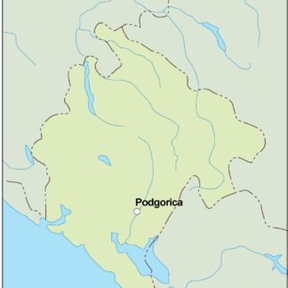
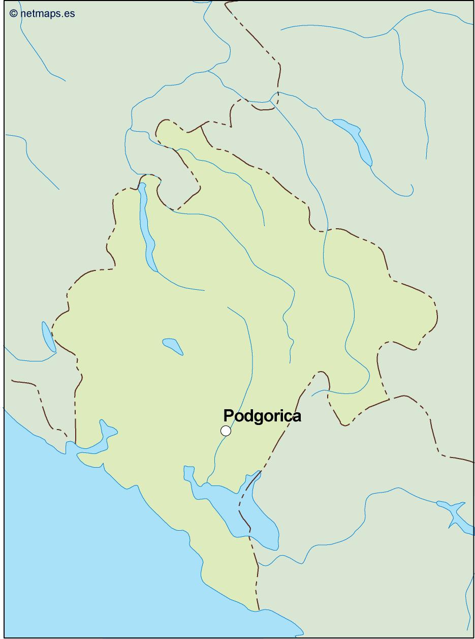
Montenegro is a small country located in Southeast Europe, bordered by Croatia, Bosnia and Herzegovina, Serbia, Kosovo, and Albania. Its capital and largest city is Podgorica, located in the central part of the country. Montenegro is situated on the Balkan Peninsula and is part of the Balkans region.
The Montenegro EPS map vector is a detailed and accurate representation of the country’s geography, including its borders, cities, towns, and natural features. The map is created using vector graphics, which means that it can be scaled up or down without losing its quality. This makes it ideal for use in a variety of applications, including print and digital media.
The Montenegro EPS map vector includes all of the major cities and towns in the country, including Podgorica, Niksic, Cetinje, and Bar. It also shows the major highways and roads that connect these cities, as well as the country’s borders with its neighboring countries.
In addition to its cities and roads, the Montenegro EPS map vector also includes the country’s natural features, such as its mountains, rivers, and lakes. The map shows the Durmitor National Park, which is home to the Durmitor mountain range and the Tara River Canyon, one of the deepest canyons in Europe.
The Montenegro EPS map vector is designed to be easy to read and understand, with clear labels and symbols that indicate the location of important landmarks and features. The map is also color-coded to help users quickly identify different regions of the country.
Overall, the Montenegro EPS map vector is an essential tool for anyone who needs to navigate or understand the geography of this fascinating country. Whether you are a tourist planning a trip to Montenegro, a business owner looking to expand your operations in the region, or a student studying the Balkans, this map is an invaluable resource that will help you make the most of your time in this beautiful and historic country.
montenegro vector map. Vector maps from Europe. Illustrator EPS files, fully editable from our european Country map database. All our digital cartography was created with Vector Adobe Illustrator