Description
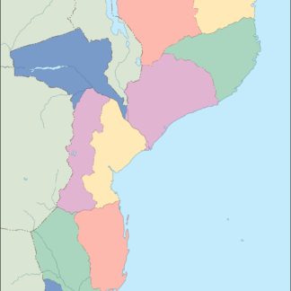
mozambique vector map. Vector maps from Africa. Illustrator EPS files, fully editable from our African map database. All our digital cartography was created with Vector Adobe Illustrator
Vector eps City maps of the cities and countries of the world. More than 10 000 vector files
39.00 €
illustrator for sale
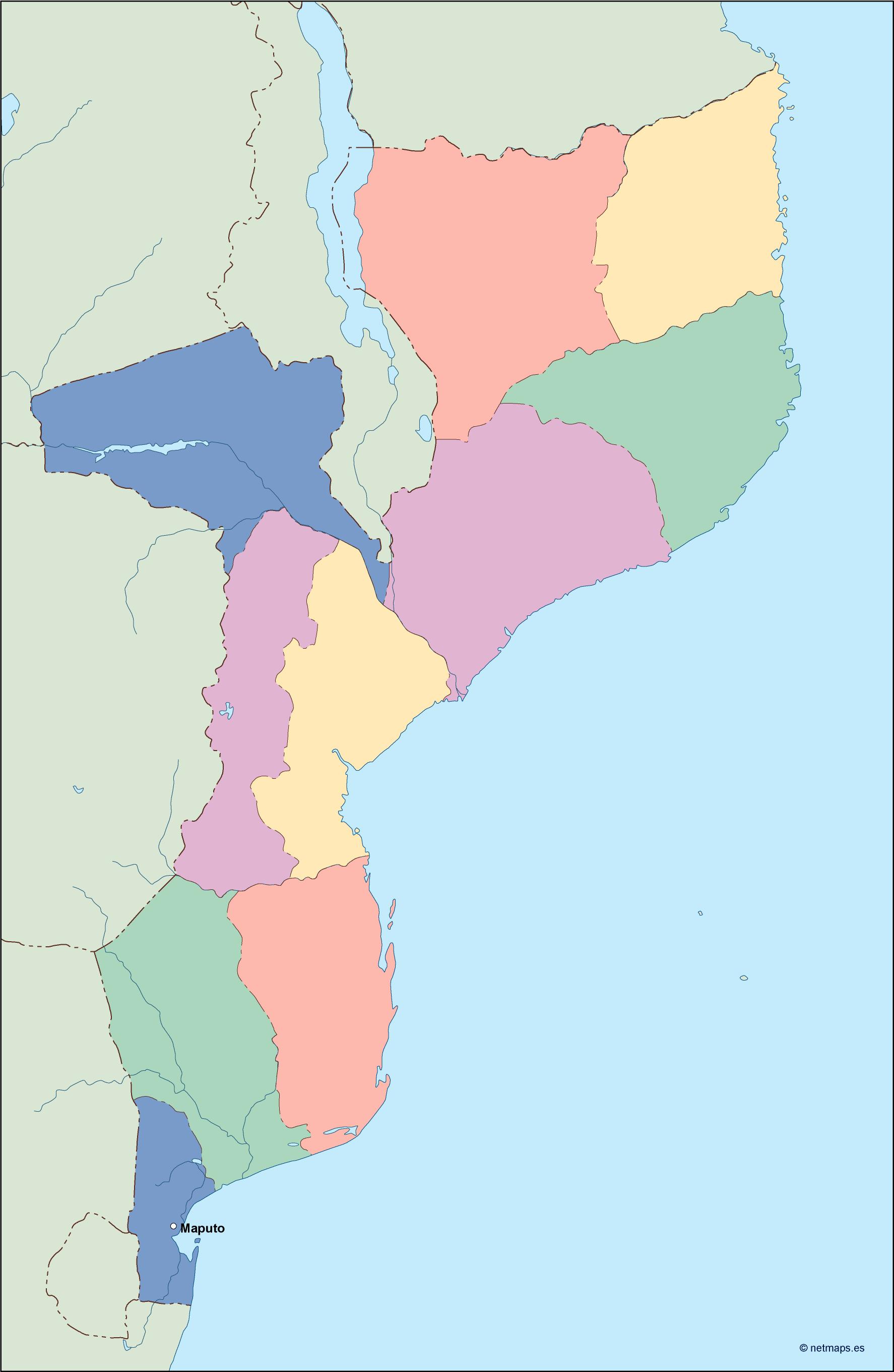
Mozambique is a country located in southeastern Africa, bordered by Tanzania to the north, Malawi, Zambia, and Zimbabwe to the west, South Africa and Eswatini to the south, and the Indian Ocean to the east. The capital of Mozambique is Maputo, located in the southern part of the country.
The Mozambique EPS map vector illustrator for sale is a detailed and accurate representation of the country’s geography, including its borders, major cities, and physical features. The map is designed to be used in a variety of applications, including print and digital media, and is available in a range of file formats to suit different needs.
The map features a range of different elements, including rivers, lakes, mountains, and other physical features, as well as major roads, highways, and other transportation infrastructure. The map also includes detailed information about the country’s administrative divisions, including its provinces and districts.
One of the key features of the Mozambique EPS map vector illustrator for sale is its high level of detail and accuracy. The map has been created using the latest satellite imagery and other data sources, ensuring that it provides an up-to-date and accurate representation of the country’s geography.
In addition to its accuracy, the Mozambique EPS map vector illustrator for sale is also highly customizable. The map can be easily edited and modified using vector graphics software, allowing users to add their own annotations, labels, and other information as needed.
Overall, the Mozambique EPS map vector illustrator for sale is an essential tool for anyone working with or studying the geography of Mozambique. Its high level of detail, accuracy, and customizability make it an ideal choice for a wide range of applications, from print and digital media to academic research and analysis.
mozambique vector map. Vector maps from Africa. Illustrator EPS files, fully editable from our African map database. All our digital cartography was created with Vector Adobe Illustrator