Description
Oslo kart. Norway Vector Kart. EPS Illustrator maps Norway Cities
Vector eps City maps of the cities and countries of the world. More than 10 000 vector files
895.00 €
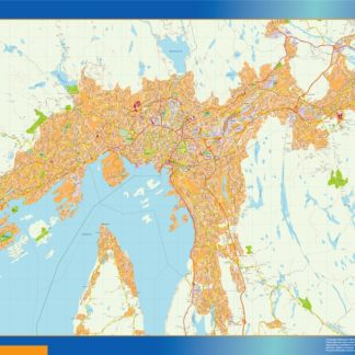
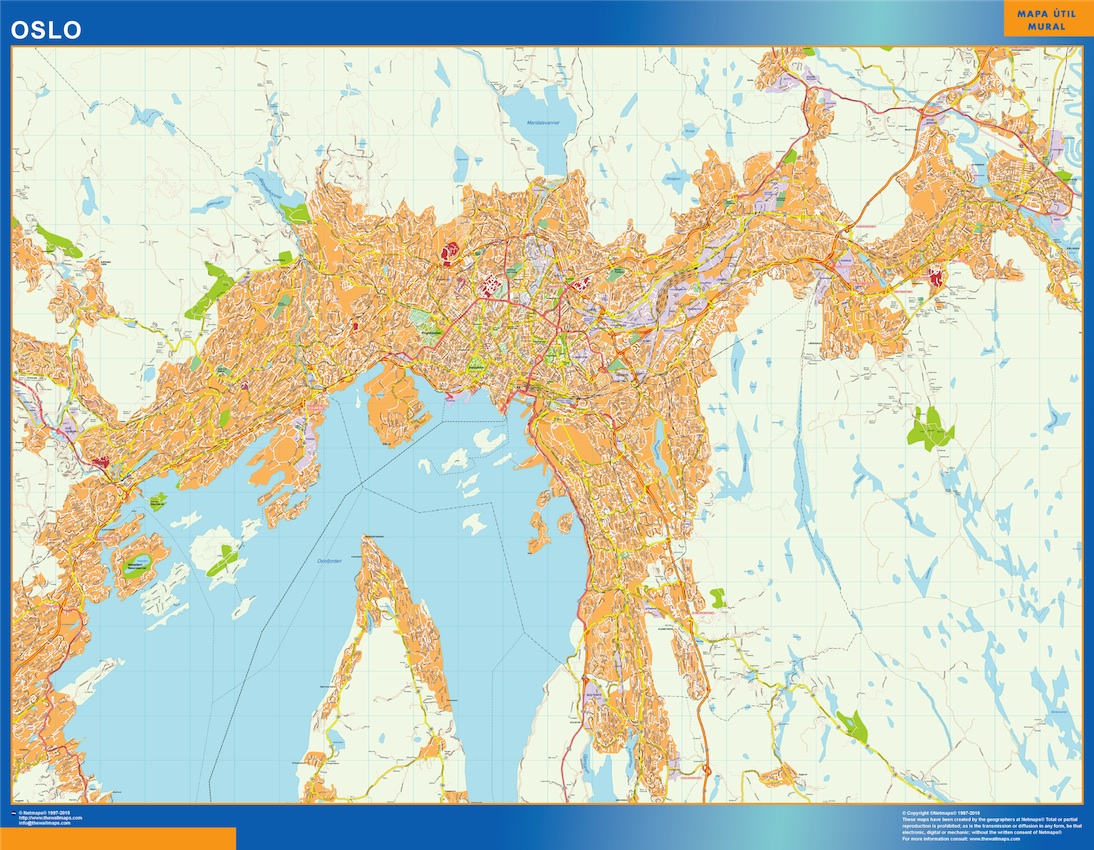
The vector EPS map of Oslo highlights the city’s main streets and parks, as well as its location within Norway. The map showcases major thoroughfares such as Karl Johans gate, Grensen, and Storgata, as well as notable green spaces like Frogner Park and Vigeland Park. Additionally, the map features the city’s waterfront areas along the Oslofjord and the Akerselva River. Overall, the map provides a comprehensive overview of Oslo’s layout and key landmarks.
Oslo kart. Norway Vector Kart. EPS Illustrator maps Norway Cities