Description
plymouth vector map
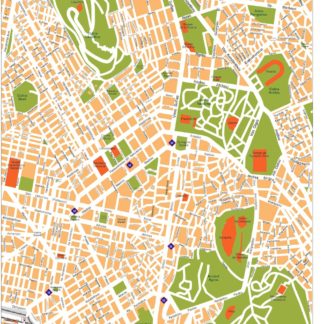
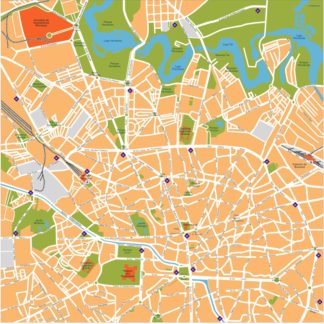
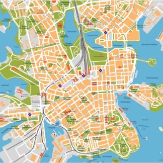
Vector eps City maps of the cities and countries of the world. More than 10 000 vector files
895.00 €
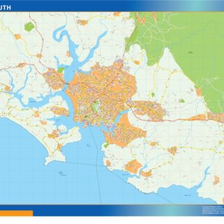
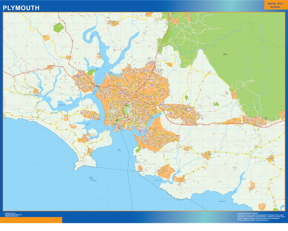
The Plymouth EPS map vector showcases the city’s main streets and parks, highlighting its location within the country. The map features prominent landmarks such as the Plymouth Hoe, the Royal Citadel, and the Barbican. The city’s main thoroughfares, including Union Street, Royal Parade, and Western Approach, are clearly marked, making it easy to navigate the city. The map also highlights the city’s green spaces, such as Central Park, Victoria Park, and Freedom Fields Park, providing visitors with plenty of opportunities to enjoy the outdoors. Overall, the Plymouth EPS map vector is an essential tool for anyone looking to explore this vibrant city in the southwest of England.
plymouth vector map