Description
puerto rico vector map. Vector maps from Central America and Caribe Illustrator EPS files, fully editable from our American Country map database. All our digital cartography was created with Vector Adobe Illustrator
Vector eps City maps of the cities and countries of the world. More than 10 000 vector files
39.00 €
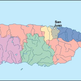
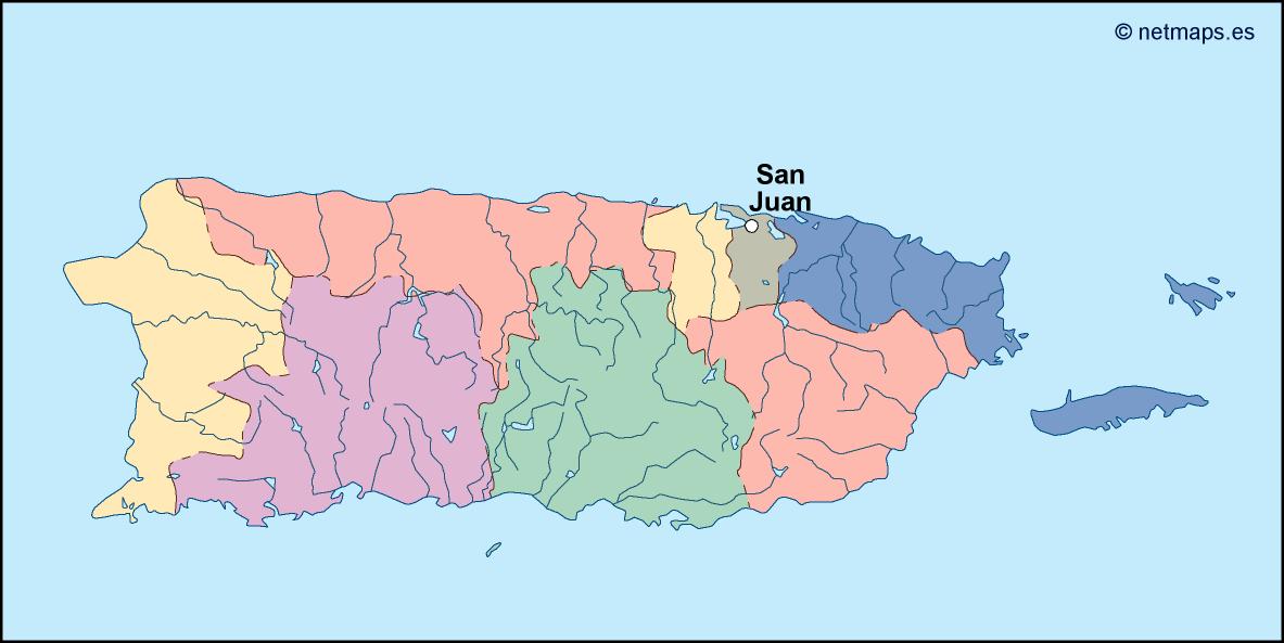
Puerto Rico is a beautiful island located in the Caribbean Sea, southeast of the United States. It is an unincorporated territory of the United States, and its capital is San Juan. The island is known for its beautiful beaches, tropical climate, and rich culture.
When it comes to creating an EPS vector illustrator map of Puerto Rico, there are a few key elements that need to be included. First and foremost, the map should clearly show the outline of the island, including its various regions and municipalities. This can be done using a combination of lines and shapes, with different colors used to differentiate between different areas of the island.
In addition to the island itself, the map should also include the surrounding waters of the Caribbean Sea, as well as any nearby islands or territories. This will help to give context to the location of Puerto Rico within the larger region.
Another important element to include on the map is the capital city of San Juan. This can be represented using a star or other symbol, placed at the appropriate location on the map. It is also a good idea to include other major cities and towns on the island, as well as key landmarks and attractions.
When it comes to designing the map itself, there are a few different approaches that can be taken. Some designers prefer to create a more realistic, detailed map that includes topographical features and other geographic information. Others may opt for a more stylized, simplified approach that focuses on the key elements of the island and its surroundings.
Regardless of the approach taken, it is important to ensure that the map is easy to read and understand. This means using clear, legible fonts for any text on the map, as well as choosing colors and symbols that are easy to distinguish from one another.
Overall, creating an EPS vector illustrator map of Puerto Rico can be a fun and rewarding project for any designer. By including all of the key elements of the island and its surroundings, and using a clear and easy-to-read design, the map can be a valuable resource for anyone looking to explore this beautiful part of the world.
puerto rico vector map. Vector maps from Central America and Caribe Illustrator EPS files, fully editable from our American Country map database. All our digital cartography was created with Vector Adobe Illustrator