Description
sao tome e principe vector map. Vector maps from Central America and Caribe Illustrator EPS files, fully editable from our American Country map database. All our digital cartography was created with Vector Adobe Illustrator
Vector eps City maps of the cities and countries of the world. More than 10 000 vector files
39.00 €
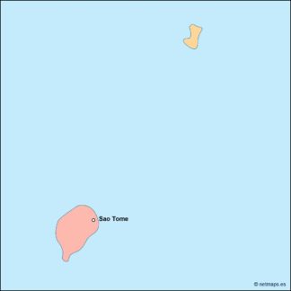
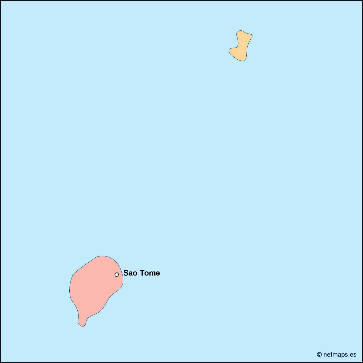
Sao Tome and Principe is a small island nation located in the Gulf of Guinea, off the western coast of Africa. The country is made up of two main islands, Sao Tome and Principe, as well as several smaller islands. The capital city is Sao Tome, which is located on the northern coast of the island of Sao Tome.
The Sao Tome and Principe EPS map vector is a detailed representation of the country, featuring all of its major geographic features and landmarks. The map is designed to be used for a variety of purposes, including tourism, education, and business.
The map is created using vector graphics, which means that it can be scaled to any size without losing quality. This makes it ideal for use in a variety of applications, from small brochures to large billboards.
The map features a range of different elements, including the country’s coastline, rivers, mountains, and major cities. The coastline is particularly important, as it is home to many of the country’s most popular tourist destinations, including beaches, resorts, and wildlife reserves.
The map also includes a range of different symbols and icons, which are used to represent different features and landmarks. For example, the capital city of Sao Tome is represented by a small star, while other major cities are represented by circles or squares.
In addition to the main islands of Sao Tome and Principe, the map also includes several smaller islands, which are located off the coast of the main islands. These islands are represented by small dots or circles, and are labeled with their names.
The map also includes a range of different colors, which are used to represent different features and areas. For example, the coastline is represented by a light blue color, while the mountains are represented by a darker green color.
Overall, the Sao Tome and Principe EPS map vector is a highly detailed and accurate representation of the country, which is ideal for a range of different applications. Whether you are a tourist, a student, or a business owner, this map is an essential tool for understanding and navigating the country.
sao tome e principe vector map. Vector maps from Central America and Caribe Illustrator EPS files, fully editable from our American Country map database. All our digital cartography was created with Vector Adobe Illustrator