Description
seychelles vector map. Vector maps from Africa. Illustrator EPS files, fully editable from our African map database. All our digital cartography was created with Vector Adobe Illustrator
Vector eps City maps of the cities and countries of the world. More than 10 000 vector files
39.00 €
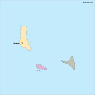
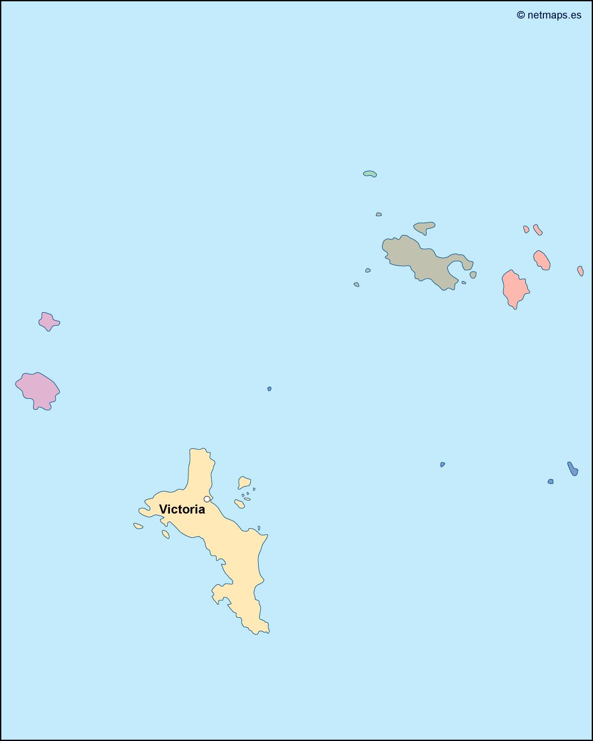
The Seychelles is a beautiful island nation located in the Indian Ocean, off the eastern coast of Africa. The country is made up of 115 islands, with the capital city of Victoria located on the island of Mahé. The Seychelles is known for its stunning beaches, crystal-clear waters, and diverse marine life, making it a popular destination for tourists from around the world.
The Seychelles EPS map vector is a detailed representation of the country, highlighting its unique geography and topography. The map is designed to be used in a variety of applications, including tourism, education, and research.
The map features a range of different elements, including the country’s borders, major cities and towns, roads and highways, and natural features such as mountains, rivers, and lakes. The map is also color-coded to help users easily identify different regions and areas of the country.
One of the most striking features of the Seychelles EPS map vector is the way it highlights the country’s location in relation to the rest of the world. The map clearly shows the Seychelles’ position in the Indian Ocean, as well as its proximity to other countries in the region such as Madagascar, Mauritius, and the Comoros.
The map also includes a range of other useful information, such as the location of airports, ports, and other transportation hubs. This makes it an invaluable tool for anyone looking to navigate the country or plan a trip to the Seychelles.
Overall, the Seychelles EPS map vector is a highly detailed and accurate representation of this beautiful island nation. Whether you’re a tourist, student, or researcher, this map is an essential tool for understanding the geography and topography of the Seychelles.
seychelles vector map. Vector maps from Africa. Illustrator EPS files, fully editable from our African map database. All our digital cartography was created with Vector Adobe Illustrator