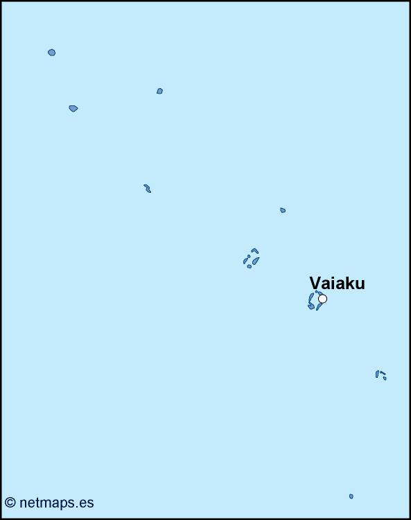
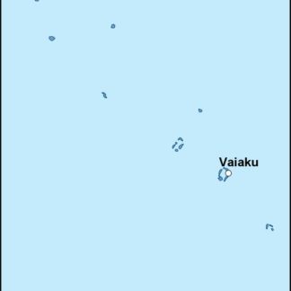
The Tuvalu EPS map vector is a detailed representation of the small island nation of Tuvalu, located in the Pacific Ocean. The map showcases the country’s unique geography, including its nine coral atolls and islands, as well as its capital city, Funafuti.
Tuvalu is a Polynesian island nation located in the Pacific Ocean, situated midway between Hawaii and Australia. The country is made up of nine coral atolls and islands, with a total land area of just 26 square kilometers. Despite its small size, Tuvalu is home to a vibrant culture and a rich history, with a population of approximately 11,000 people.
The Tuvalu EPS map vector is designed to showcase the country’s unique geography, with each of the nine atolls and islands clearly marked and labeled. The map also includes detailed topographical information, highlighting the country’s low-lying terrain and its proximity to the ocean.
In addition to its detailed geography, the Tuvalu EPS map vector also includes important information about the country’s capital city, Funafuti. Located on the atoll of Funafuti, the city is home to approximately 6,000 people and serves as the administrative center of the country. The map includes detailed information about the city’s layout, including its streets, buildings, and landmarks.
One of the most important features of the Tuvalu EPS map vector is its inclusion of the country’s location within its broader geographic context. The map clearly shows Tuvalu’s location in the Pacific Ocean, as well as its proximity to other island nations in the region, such as Fiji, Samoa, and Kiribati.
Overall, the Tuvalu EPS map vector is an essential tool for anyone interested in exploring this unique and fascinating island nation. Whether you are a traveler, a researcher, or a business owner, this map provides a detailed and accurate representation of Tuvalu’s geography, culture, and history. With its high-quality design and detailed information, the Tuvalu EPS map vector is an invaluable resource for anyone looking to learn more about this beautiful and fascinating country.
